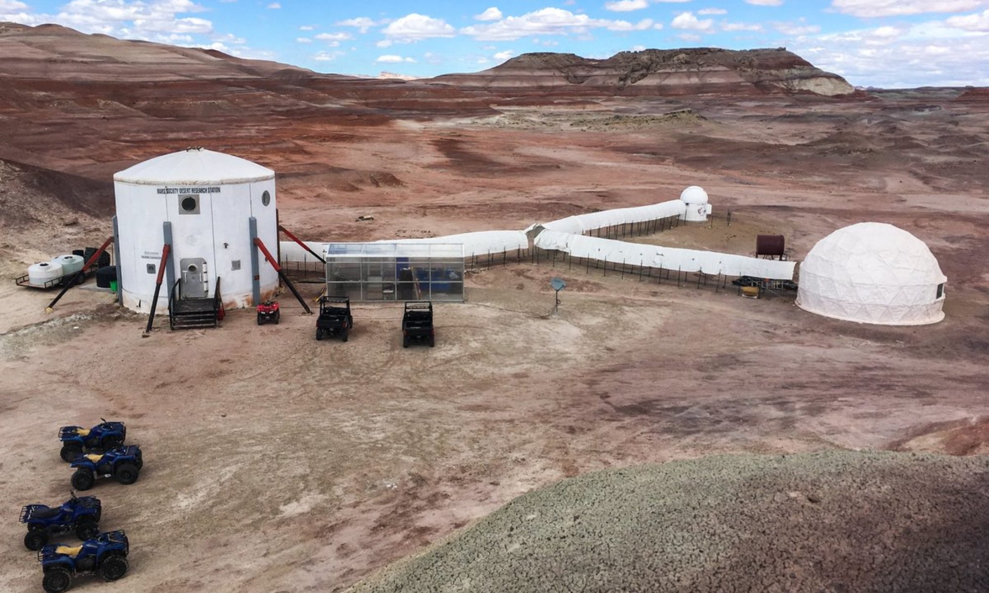
This afternoon crew 210 began to conduct vegetation quadrat surveys as a part of our local plant and lichen biodiversity survey. At two sites pre-selected from the MDRS topographic map (both east of the hab along Cactus Road) we plotted three 10-meter transects, and surveyed five 1-meter-square quadrats along each transect in a zig-zag pattern.
For each transect we recorded GPS coordinates, air and soil
temperature at the center of the transect, measured the height of the tallest plant on the transect, and took a central sample for soil moisture and pH (these latter variables will be measured in the lab tomorrow).
Within each of the five quadrats, we estimated percent cover of vascular plants, and named the top three species (by abundance) inside the square-meter. Any new plant species encountered were collected for identification and to add to our plant biodiversity data.
Tomorrow we will finish the quadrat surveys at three additional pre-determined sites, north and west of the hab, and will continue our plant and lichen collection efforts.
Regards,
Paul, on behalf of Crew 210

