
Crew 261 EVA Report 03-05-2023
EVA # 3
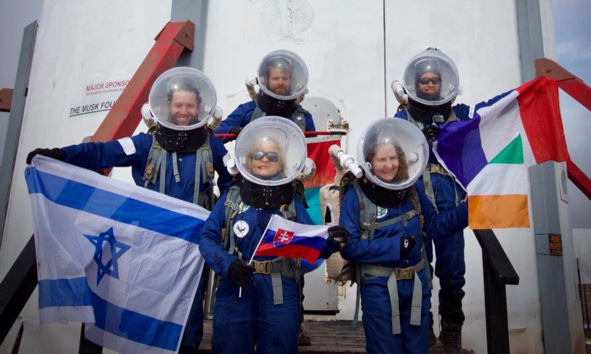
Author: James Burk, Commander
Purpose of EVA: Collection of soil for GreenHab experiments and operational testing of EVALink and VR-Comms procedures using Garmin devices.
Start time: 9:00 AM
End time: 10:15 AM
Narrative: EVA-3 conducted a collection of soil for GreenHab experiments and operational testing of EVALink and VR-Comms procedures using Garmin devices. The soil collection is meant to support our Biostimulation experiments. Commander James Burk and GreenHab Officer Cecile Renaud took the Opportunity rover on a traverse south to the north side of Kissing Camel Ridge (East), which is also just at the entrance of Robert’s Rock Garden. They parked the rover and walked east approximately 100 meters, stopping at three distinct sampling locations to collect different types of soil that will be used for the Biostimulation experiments. They also took Garmin waypoints and photos of the collection sites.
At the end of the EVA, James found a small rock that appears volcanic in origin. Cecile quickly named it “The Mountain”, and they brought it back to the Hab as a souvenir. Coincidentally, the name is very similar to James’ high school nickname. His high school sports teammate Karl Foston dubbed him “Mt. Burk” due to his height and his expertise with blocking basketball shots.
Destination: North side of Kissing Camel Ridge, just off Cow Dung Road.
Coordinates (use UTM WGS 84): 518300 E, 4249500 N
Participants: James Burk (Commander) (EVA Leader), Cecile Renaud (GreenHab Officer).
Road(s) and routes per MDRS Map: Drive towards Cow Dung Road, take it south to the entry to Robert’s Rock Garden, and walk east to the collection site.
Mode of travel: Rover (Opportunity)
Crew 261 EVA Report 03–05–2023
EVA # 4
Author: James Burk, Commander (with inputs from Aline Decadi, XO)
Purpose of EVA: Initial testing of Atmosphinder prototype
Start time: 11:00 AM
End time: 12:00 PM
Narrative: EVA-4 conducted Atmosphinder testing using the half-sized robot (~1 m diameter) in front of the Hab. The objectives of the test focused on structural aspects of the robot and de-risking operational elements. The EVA crew members worked together to increase the operational understanding of extracting the robot out of the RAM, loading the robot into the rover (ATV), securing the robot to the rover (ATV), and driving slowly with sudden decelerations. The lessons learned from this exercise will de-risk these elements on future EVAs when transporting the robot to regions of interest. Quantitative testing of the robot was completed using force meters to measure the longitudinal and latitudinal forces required to lift the robot. Qualitative testing observed that the robot can roll down a small incline unassisted. Structural elements on the robot that failed were known previously and can be repaired. The electronics payload was tested separately, with the new addition of the wind sensor compared to EVA-2. The EVA-4 worked smoothly, and valuable new information was learned. The success of this EVA-4 was in large part thanks to the EVA crew lead and the crew facilitating behind the scenes.
Destination: Flat ground just outside the hab. Originally the EVA was planned to go farther Northwest from Hab but once the team was out, they assessed that terrain from afar and felt that the terrain immediately in front of the Hab was lower risk for the experiment.