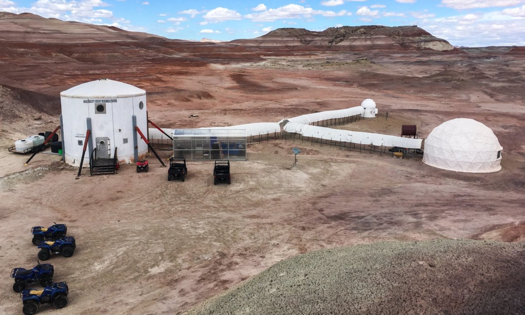
Crew 206 EVA Report 05 Mar 2019
EVA #07
Author : Jérémy Auclair
Purpose of EVA: The EVA has two purposes :
– Maintenance of the LOAC, installation of a rain protection
– Exploration and photography of the Hab ridge
Start time: 9:15 am
End time: 11:15 am
Narrative: We were happy to discover that the ground was very dry this morning. At 09:20 am, after having done the checks around the Hab, we took Spirit and Curiosity to go to the LOAC with some equipment. We installed a very simple rain protection for the LOAC, it’s probably not as effective as I’d like, but it’s better than nothing for now. At 09:40 am we parked Spirit and Curiosity and started walking north to climb up the ridge. We took a little less than 15 minutes to arrive to the top. The view is breathtaking, even after a year. Once on top we walked south for 25 minutes, taking picture along the way. It’s a very interesting spot because there are very different landscapes that join to this point.
After the 25 minutes walk, we turned around to find a way to go back down, we walked for 10 minutes. We walked on a south oriented light slope, for maximum security. The way down was easy, the ground was dry, everything went fine. We arrived at the Hab at 11:10 am and entered the main airlock.
Destination: LOAC and Weather Station location, Hab Ridge
Coordinates: 518500/425700 (LOAC and Weather Station), 517900/4251200 (Hab Ridge Road /Sagan Street)
EVA Participants: Norbert Pouzin (GHO), Aurélien Mure (XO), Jeremy Auclair (CMD, EVA leader)
Roads and routs per MDRS Map: Cow Dung Road
Mode of travel: Driving and Walking

