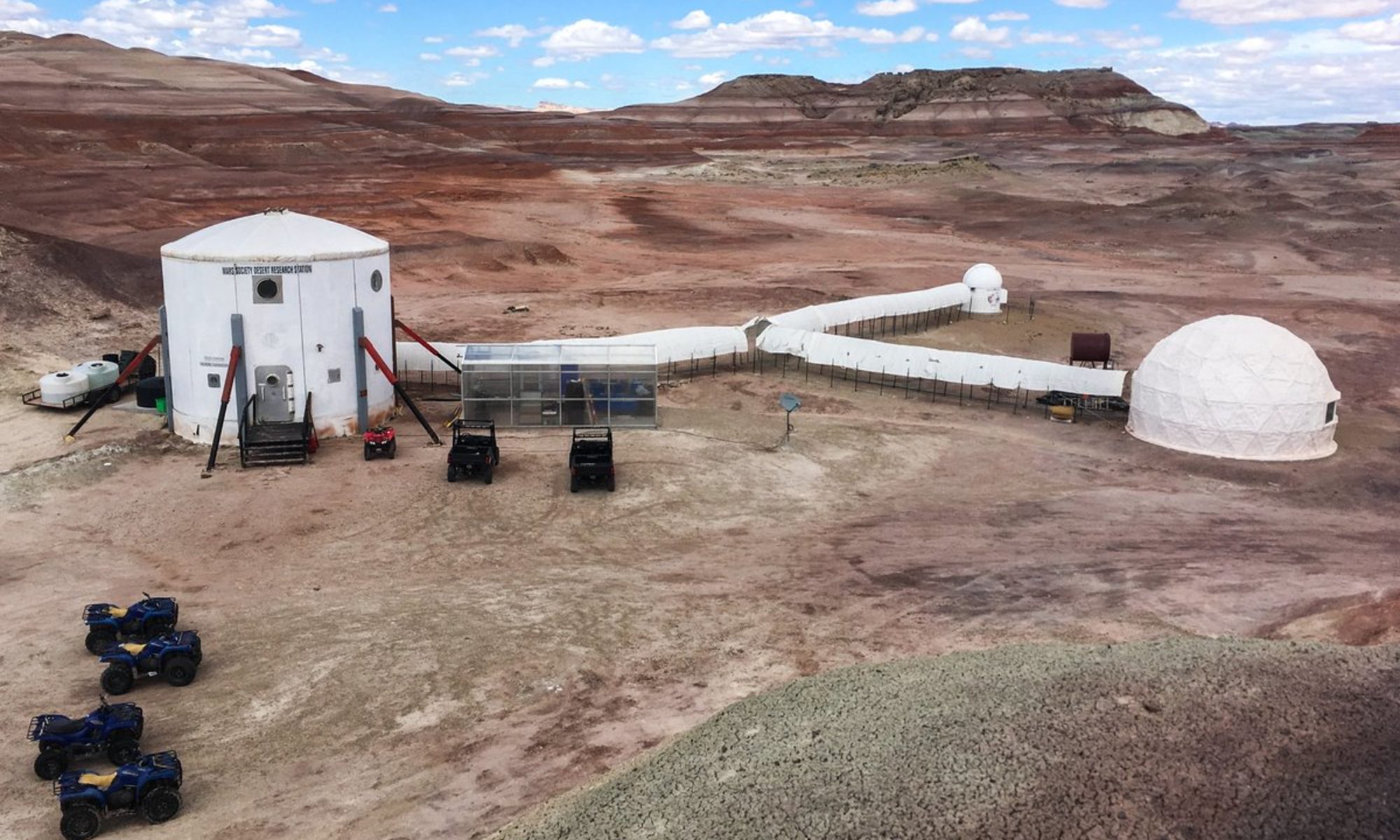
Crew 216 EVA Report 30-Nov-2019
EVA #08
Author: Levesque
Purpose of EVA: Evaluate potential communications repeater site on North Ridge
Start time for EVA: 1330
End time for EVA: 1530
Narrative: The EVA team walked to the bottom of the northeast corner of the North Ridge to assess the viability of a safe route to the top that had been determined from cartographic analysis. Once again, however, the dictum was proven true: the map is not the territory. Upon reaching the northeast corner, the team determined that the steepness of the slope and the footing was not safe or suitable to pursue. In search of an alternative, the team continued west around the north side completing a loop without finding one. The team then returned to the Hab via a direct route. A future reconnaissance in drier conditions should be considered, as a GIS viewshed analysis of the North Ridge indicates it would be an ideal site for a radio repeater if a relatively easy route to the summit can be found.
EVA Participants: Levesque, Lawson, Kennedy, Alexandrova
Routes per MDRS Map:
1) Walk to the northeast corner of North Ridge at 518624E 4251655N
2) Continued west to 518248E 4251639N
3) Returned to Hab from this point
Mode of travel: Walk
Vehicles used: N/A

