Author: Julio A. Hernandez
Purpose of EVA: A training EVA to improve crew mapping abilities
Start time: 09:00
End time: 11:30
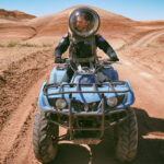
Narrative: The EVA this morning started exactly at the beginning of the approved EVA window. The crew took enhanced measures during the EVA debriefing to ensure that the EVA participants were well prepared for the mission. In short, the route was mapped and landmarks were identified to aid in navigation. The health and safety checks were conducted without any issue to note; the participants were engaged and eager for their EVAs. Crew Botanist Hernandez and Crew Engineer Hariharan were the driver and navigator in the Perseverance Rover, respectively. As per Outpost’s recommendation, ATV #2 was taken for the EVA by XO Hume. The starting charge of the Rover was 100% with 202.1 hours. The ATV started up after some difficulty due to a cold engine.
We proceeded toward our destination, Robert’s Rock Garden, following the Cow Dung Road, as shown on the map and per the pre-EVA briefing. The EVA team checked COMMs with HABCOM until they were out of range. The EVA team stopped on the north side of Robert’s Rock Garden and took a photo of Kissing Camel to the East. Phobos Peak was included in the photo.
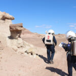
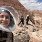
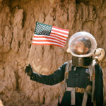
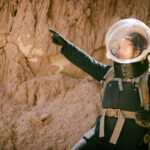
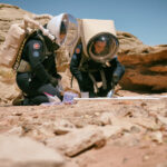
After visiting Robert’s Rock Garden, the EVA team departed to Zubrin’s Head. Identifying Zubrin’s Head proved to be challenging. Using both the map, approximated GPS coordinates, and location of the Sun, the EVA team identified a feature that they believed to be Zubrin’s Head. As a precaution to ensure the identified geological feature was indeed Zubrin’s Head, the EVA team proceeded up and down Cow Dung Road to raise their confidence in their feature identification (the feature looks like a person wearing a hat?). The EVA team proceeded to take photos of themselves next to the structure.
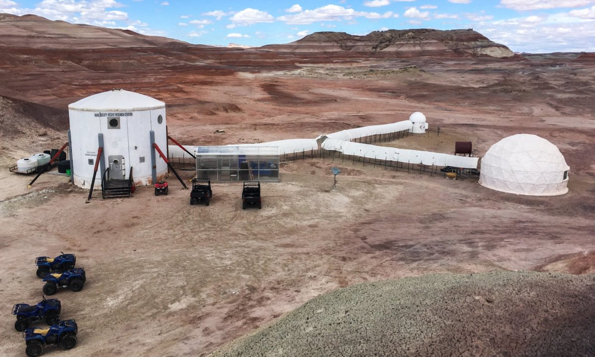
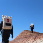
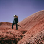
The EVA team then proceeded to hike in a southwest direction to explore the area. Using a local small hill, the EVA team took photos of the Barrainca Butte. After this little excursion, the EVA team returned to their vehicles to relocate themselves to the south side of Robert’s Rock Garden to collect soil samples at four different locations before returning to HAB grounds. The EVA team was granted permission to re-enter the HAB ground by HABCOM. The vehicles were parked. The Rover was parked and 86% with 202.7 hours. The EVA team was granted permission to re-enter the HAB and the airlock was sealed and re-pressurized.
Destination: Robert’s Rock Garden, Robert’s Head, Barrainca Butte
Coordinates (use UTM NAD27 CONUS): Moving through 12 s 518250 utm 4249250 (Robert’s Rock Garden), parking at 12 s 519500 utm 4248100 (Robert’s Head), hiking to near 519000 4247000 (Barrainca Butte)
Participants: Shayna Hume, Shravan Hariharan, Julio Hernandez
Road(s) and routes per MDRS Map: South Cow Dung Road
Mode of travel: Vehicles and Walking
EVA # 7
Author: Health and Safety Officer Alex Coultrup
Purpose of EVA: Training and confirmation of orienteering skills and ability to navigate to specified destinations using analog maps.
Start time: 1230 MDT
End time: 1520 MDT
Narrative: The EVA this afternoon started right at the beginning of the approved EVA window. HSO performed our required health and safety checks (blood pressure, heart rate, and temperature checks) and carefully implemented our planetary protection measures as per XO Hume’s research protocol. After we suited up and completed our 5-minute decompression in the airlock, we loaded our supplies into the Perseverance rover. Commander Dickstein and Crew Scientist Ettlin drove the Rover and HSO Coultrup took the ATV Serial Number 2. Starting charge on the Rover was 89% with 202.8 hours and the ATV started up quickly with little choke needed.
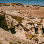
We traveled from the Hab to Entrance Road, and pulled over to consult our map. By using the map to estimate the distance, and by estimating the speed of the rover, we were able to estimate the total expected time to travel between this location and our first destination. We resumed traveling north on Cow Dung Road for the duration we calculated, and arrived at Streambed Connector as anticipated. We parked the rovers safely on the side of the road. Using the same calculation techniques as before, we estimated the duration of our walk to Destination 1. Using the analog map, we walked to Destination 1, took a photo, and enjoyed the view of the beautiful rock strata to our north upon arrival. As always, we carried the EVA med kit with us for this walk. We returned back to the vehicles using the same route, and proceeded north on Cow Dung Road toward Destination 2.
While traveling toward Destination 2, we pulled over at Galileo Road to consult our map and ensure accurate navigation. After performing our time/distance calculations, we continued North along Cow Dung Road, and were able to visually determine when we passed Cowboy Corner. We continued slightly further down Cow Dung Road, safely parked the rovers, and walked a few hundred meters toward the reservoir area, where we captured a photo of our arrival. We returned back to the vehicles using the same route, and consulted our map to perform the same navigation process we had been employing so far. We determined the distance, speed, and rate of travel, and proceeded north on Cow Dung Road toward Destination 3.
As we approached toward Destination 3, we pulled at the end of our approximated travel duration, but by consulting the analog map and visual landmarks, we were able to determine that we were not yet at the desired location. We re-started our vehicles and proceeded 30 seconds further north, and reached the intersection of Tank Wash Road and Cow Dung Road. We took a photo facing west, and returned to our vehicles.
From Destination 3, we began travelling south on Cow Dung Road until we reached the Streambed Connector. At the Streambed Connector area, we pulled over once again and spent some time collecting soil samples for our scientific research. When we had completed gathering the samples, we returned to the vehicles and proceeded south on Cow Dung Road to Entrance Road, and back to the Hab. Upon returning, the Rover displayed 203.2 hours and 86% charge.
Destination 1: Beautiful strata north of canyon at end of Streambed Connector
Coordinates of Destination 1: 12 S 0519556, UTM 4250370
Destination 2: Reservoir Dam/waterhole
Coordinates of Destination 2: 12 S 0518579, UTM 4252676
Destination 3: Intersection of Tank Wash Road and Cow Dung Road
Coordinates of Destination 3: 12 S 0518522, UTM 4253399
Participants: Crew Scientist Olivia Ettlin, Commander Dylan Dickstein, and Health and Safety Officer Alex Coultrup
Road(s) and routes per MDRS Map: Hab to Entrance Rd, then North on Cow Dung road to Streambed Connector. Cow Dung Road to Galileo Road. Cow Dung Road to Cowboy Corner. Cow Dung Road to Tank Wash Road intersection. On return route took Cow Dung Rd South to Streambed Connector. Cow Dung Road to Entrance Rd, then back to the Hab.
Mode of travel: 2 team members in Perseverance Rover, 1 team member following close behind on ATV serial #2. All three members of the team walked to each destination from the locations where we parked the rovers safely on the side of the road.




You must be logged in to post a comment.