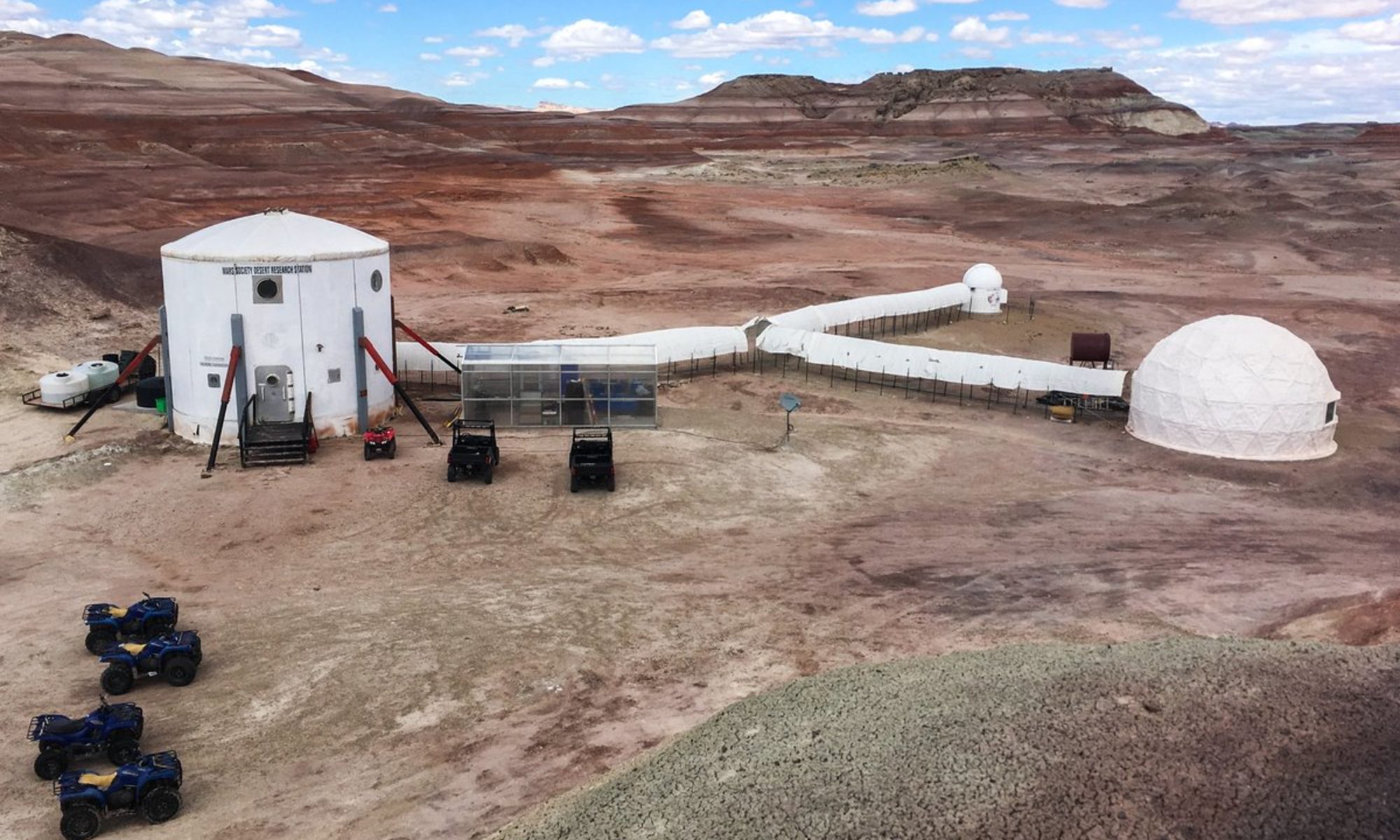
EVA # 10
Author: Enkhtuvshin “Dono” Doyodkhuu
Purpose of EVA: Drone footage; Photo shooting; Portraits;
Start time: 10:20
End time: 13:00
Narrative: This was our final EVA of the rotation. We took some of the promotional photos and videos that were left and spent some time taking fun portraits. Time management today could have been better, but we were close enough to the Hab, and Ben was kind enough to be flexible with time.
Destination: Below Hab Ridge, 500m north of the Hab.
Coordinates (use UTM WGS 84): (518200;4251500)
Participants: All crew members
Road(s) and routes per MDRS Map: Hab -> South of North Ridge
Mode of travel: Walking

