EVA # 9
Author: Riley McGlasson
Purpose of EVA: EVA to obtain a large GPR survey and assess hydration content paired with geologic characterization and sampling.
Start time: 1100
End time: 1530
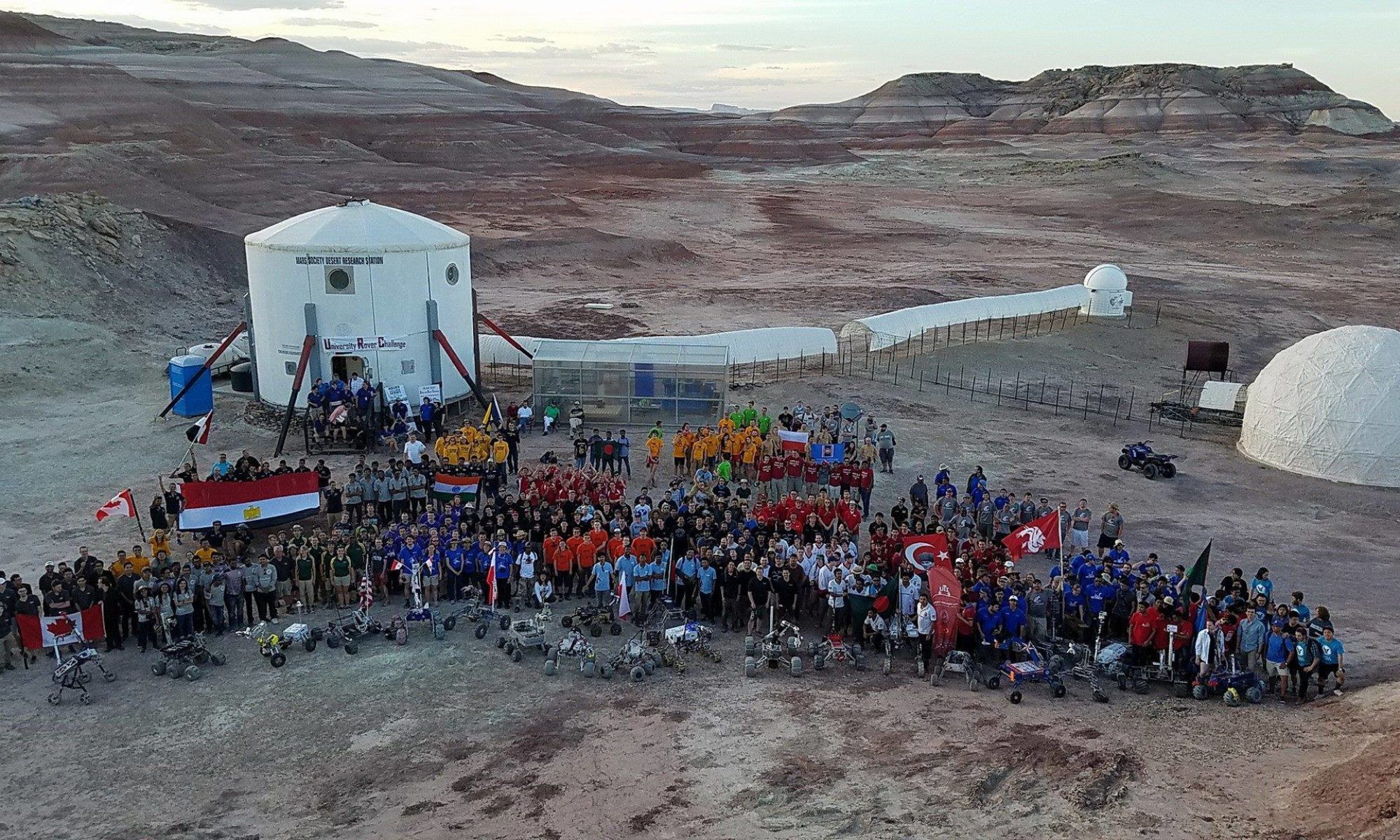
Narrative: EVA began at 1100 led by Riley (out of sim due to broken leg) and joined by Hunter, Jesus, and Lipi. The crew walked north from the Hab along 1103 until Hab Ridge, and then walked south ~0.5 km along the ridge to overlook the Hab. At this point they worked with the remaining crew at the Hab to conduct a proof-of-concept test for using a drone to transport small payloads from the Hab to the top of the ridge. Two small rocks and a piece of cake were exchanged between the two locations (the cake was eaten by Riley, as she was the only one out of sim on the EVA). After the drone test, they set up a 100 ft by 100ft survey side with 10ft grid spacing for GPR acquisition. After taking the GPR survey, Hunter led sampling and spectra collection at 5 sites within the survey region. The team then walked back to the HAB, happy with having accomplished their 3 science goals for the EVA. The team made it back to the HAB and began the reentry process at 1516.
Destination: Hab Ridge
Coordinates (use UTM WSG 84): N517950, E4251000
EVA Participants: Riley McGlasson (Executive Officer), Hunter Vannier (Crew Geologist), Jesus Meza Galvan (Crew Engineer), Lipi Roy (Crew Journalist). Cesare Guariniello (Commander) piloted the drone from campus, and served as Pilot in Command for Jesus operating the drone at the Ridge.
Road(s) and routes per MDRS Map: Walk North from the Hab along 1103 until Hab Ridge, then South on Hab Ridge.
Mode of travel: Walking.


You must be logged in to post a comment.