Crew Members:
Commander: Andrew Wheeler
Health and Safety Officer: Steve Hobbs
Crew Scientist: Clare Fletcher
Crew Engineer and Green Hab Officer: Scott Dorrington
Crew Astronomer and Medical support: Rob Hunt
Crew Journalist: Alexander Tobal
Mission Plan:
Expedition Boomerang III saw an all Australian crew from the Mars Society Australia (MSA) bring a multidisciplinary team to MDRS to undertake our investigations. The mission objectives were divided into eight disciplines. In no particular order of importance they were: a) revisit geologically relevant analogue locations that can be shown to be appropriate to ISRU on Mars, b) deploy sensors to monitor the local environment including basic weather data, c) characterize mineralogy using a push broom VIS/NIR spectrometer, d) test the ability of a remote controlled rover to deliver the spectrometer over a variety of sloping ground and roughness, e) locating known prominent features for navigation purposes using trigonometry and dead reckoning rather than GPS and compass, f) revisit previously documented geological features for weathering and degradation with a view to develop strategies for geoheritage preservation, g) evaluate the set out of the MDRS and developed procedures with a view to inform the deployment of MSA’s Mars-Oz habitat in Australia and h) observe the current disposition of the Sun’s surface utilising the solar observatory.
Mission Activities:
The geology at the MDRS has been mapped at large scale by many crews over the years. EVAs were undertaken to revisit sites that have exposed minerals analogous to the minerals appropriate to ISRU on Mars. The two majority targeted minerals were gypsum and carbonate concretions. These locations were GPS located and saved to a format that can be transferred to multiple GIS software packages and used by following crews. Samples were collected and processed in the science dome to demonstrate usefulness. Secondary targets such as fossil beds and petrified wood (signs of preserved life) were also GPS-located when identified. Concurrent with these EVAs, the spectrometer was deployed both as a handheld tool and delivered by a remote controlled rover to the various sandstone, silstone and mudstone lithologies surrounding the MDRS. Samples were collected and returned to the MDRS for more controlled analysis and compared to the field data. Approximately 5GB of data was collected and continues to undergo processing.
Again, in parallel with these EVAs, angles and distances to prominent features were collected and positioned on a localised global map and tested for conformity to GPS positioning and compass bearings. Accuracy of positioning improved from approximately 100m to 40m but the majority of processing will be conducted away from the MDRS.
Two sensors were meant to be deployed at the beginning of the rotation and re-deployed at greater distance from the MDRS after an undefined number of days. One, a solar logger previously deployed during the FMARS15 mission in July/August 2023, was successfully positioned outside the science dome in view of the panoramic window. The battery needed recharging on four occasions. The second sensor, an electronic Stevenson Screen with multiple environmental sensors, was unable to be initiated due to circuitry burnout in the secondary battery pack and an untraced, electrical fault in the primary battery pack and was only ever deployed as a test of the setting up procedure rather than to collect weather data.
In 2005 and 2006, geomorphological features such as yardangs and mudstone and siltstone outcrops were located and photographed for follow-on studies. These were revisited, measured and re-photographed in an effort to determine degradation over the prior 18 years. How much is due to natural weathering and how much to human interaction is not obvious at MDRS but the data will be informative to a geoheritage conservation strategy.
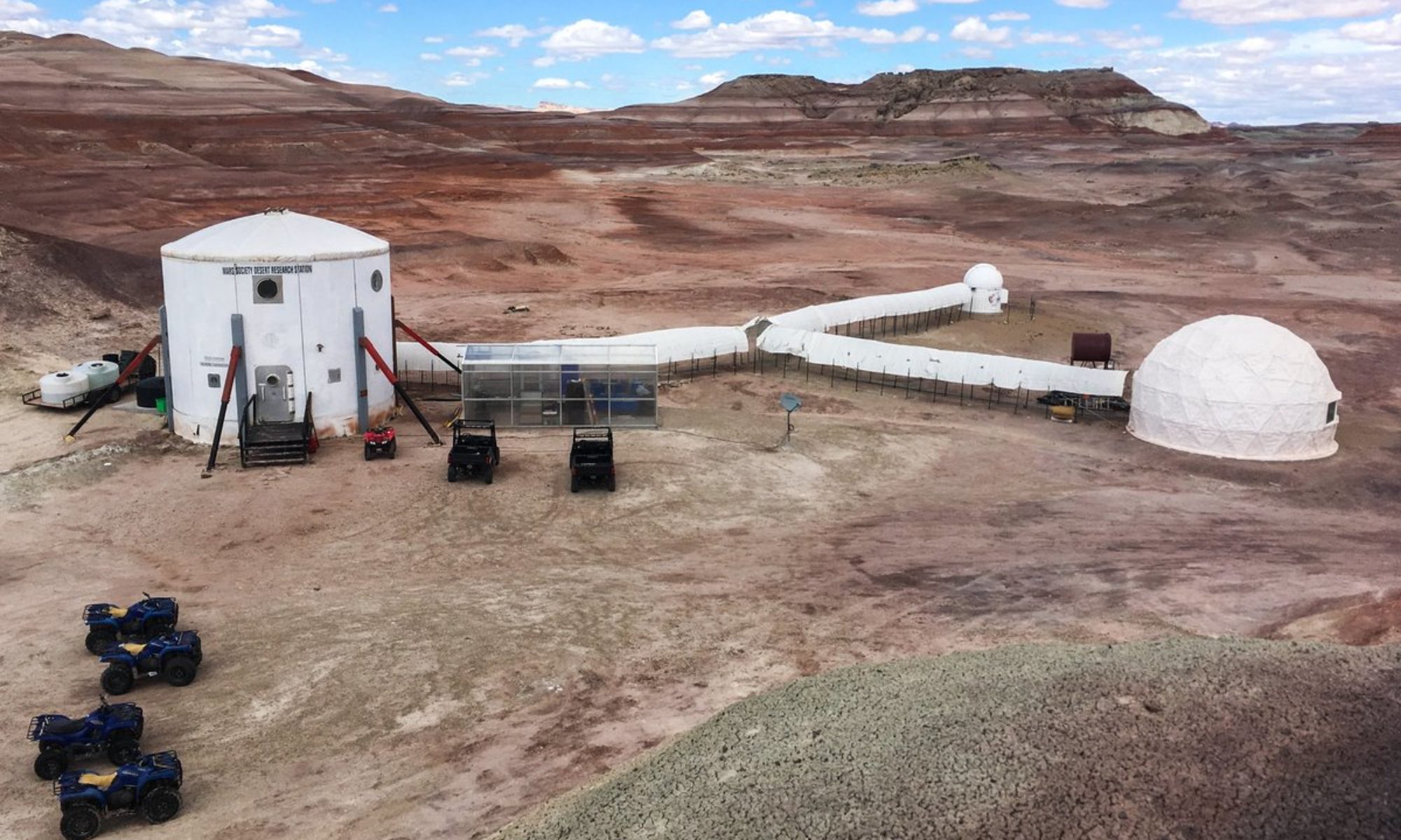
Procedures for EVAs, communications, moving between elements of the habitat, conserving water, stocking the pantry and design of the habitat and its elements were continuously evaluated inside and outside the habitat during this rotation to inform the design of the proposed Mars-Oz.
Finally, due to the weather and issues with the software, the solar observations were severely curtailed. Though a short lived prominence was observed, only a solar limb with sunspot activity was imaged for processing.

