EVA #12
Author: Arnaud de Wergifosse (Scientist)
Purpose of EVA: We’ll park the rovers south of Compass Rock and walk to Candor Chasma to fly Louis’ drone to have a few shots of the surroundings. If the landscape allows it, he will also perform automatic flights for his own experiment. Then, if the time isn’t a limiting factor, the crew plans to take back the rovers to ride half the distance between Compass Rock and Somerville Overlook along Galileo Road 1104. The remaining travel towards Somerville Overlook will be performed by foot. From there, a drone flight will be performed. Finally, the crew will come back to the rovers and head back to the station.
Start time: 9:01am
End time: 11:40am
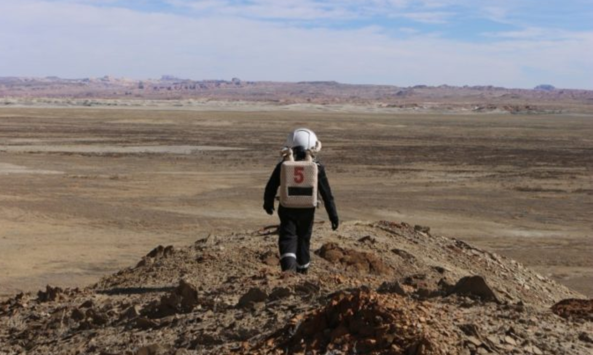
Narrative: We parked our rovers at the foot of the compass rock. We then headed for the Condor Chasma entrance to fly Louis’ drone and take a few more photos. Compared with EVA#9, we covered a longer distance inside Candor Chasma and then rejoined our rovers. We then waited about twenty minutes for Louis to make two automatic flights with the drone to establish a reconnaissance of the area. Finally, we made our way back, stopping at a few viewpoints to take videos and photos.
Destination: Compass Rock, Candor Chasma and then Somerville Overlook initially but we haven’t be able to find the path between Compass Rock and Somerville Overlook
Coordinates (use UTM WGS 84):
4252000 520000 (Compass Rock)
4251150 520400 (Entrance of Candor Chasma)
4253000 522000 (Somerville Overlook)
Participants: Louis Joseph (Engineer), Alba Sánchez Montalvo (Journalist), Hippolyte Hilgers (Green Hab Officer) and Arnaud de Wergifosse (Scientist)
Road(s) and routes per MDRS Map: Cow Dung Road 0110 and Galileo Road 1104
Mode of travel: Driving 2 rovers (Spirit and Curiosity) and walking

