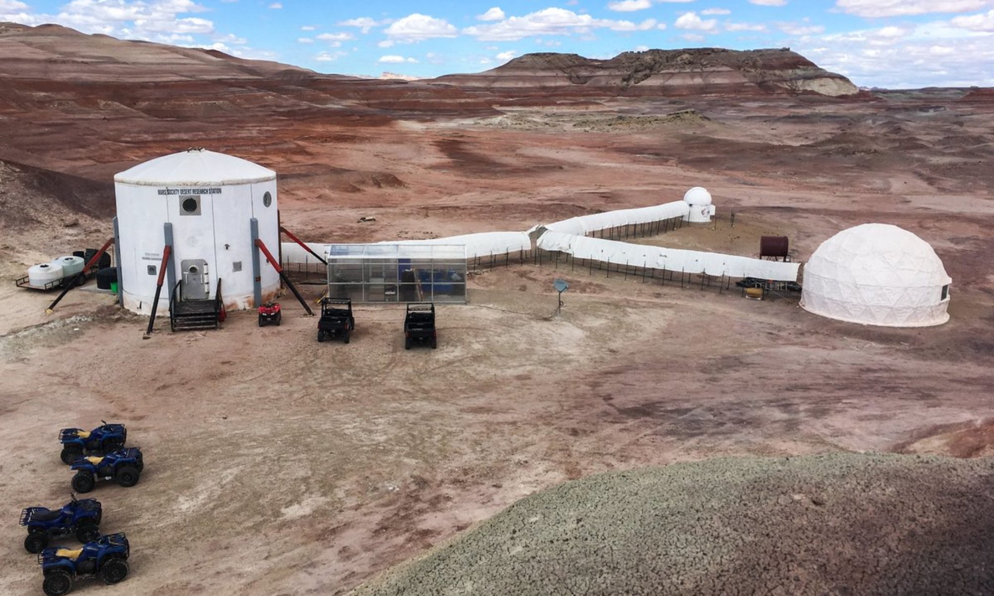
Crew 219 EVA Report 08-01-2020 EVA #5 Author: Dave Masaitis Purpose of EVA: Geologic sample collection and monitoring of dust mitigation experiment Start time: 0904 hrs End time: 0931 hrs Narrative: EVA #5 departed the Hab on foot at 0904 hours and moved over to the dust mitigation experiment. R. Raphael made his observations, and the EVA team then moved west to ascend Hab Ridge. By the time the team crested the first set of hills on the way to the ridge, D. Masaitis called a short halt to allow team members some time to allow visor fogging to subside. Within minutes, D. Masaitis was able to make the observation that his helmet’s air vents were misaligned and were only able to defog the very bottom corners of his visor. Given that he was not fully fogged, the team decided to try and continue climbing. Three-quarters of the way up the ridge line, D. Masaitis noted that snow cover and ground conditions would prohibit the whole team from making it up the ridge line with the necessary sampling equipment. He conferred with H. Blackburn, and they decided to abandon the climb in the interests of crew safety. D. Masaitis called N. Hadland at the hab to discuss options. Since a last minute change of sampling location would violate procedure, D. Masaitis made the call to terminate the EVA, and EVA #5 returned to the airlock at 0931 hours. Destination: SW of Hab Ridge Coordinates: 0517500/4250100 Participants: D. Masaitis (CO), A. Perez (ENG), H. Blackburn (LSO), R. Raphael (ASTRO) Roads and routes per MDRS Map: W to Hab Ridge, S on Hab Ridge Rd. to target location
Crew 219 EVA Report 08-01-2020
EVA #6
Author: Nathan Hadland
Purpose of EVA: Sample collection for mineralogy project and taking photographs of the optical mount for dust mitigation project
Start time: 1252 hrs
End time: 1449 hrs
Narrative: Under HSO advisement, a personnel change was made in the EVA crew. EVA #6 initiated a 5-minute decompression at 1252 hours and moved out on foot to the vicinity of the Robotic Observatory. After taking photographs of the optical mount setup to check for dust collection, we moved back to Curiosity and Spirit. After reporting SOC and hours, we progressed south along Cow Dung Road. We dismounted the rovers just past Robert’s Rock Garden and moved east on foot along the base of Kissing Camel Ridge E and then north towards Phobos Peak. After reaching an area directly south of the peak, Abdul (GEO) identified a flat site for sample collection. We collected 5 samples in a grid and recorded GPS locations. The EVA crew then headed southwest back to the rovers. Curiosity and Spirit proceeded safely back to the Hab at 1444 hours and the EVA crew successfully pressurized in the air lock at 1449 hours.
Destination: Phobos Peak
Coordinates: 0519500/4250100
Participants: Nathan Hadland (XO), Abdul Elnagdi (GEO), Keith Crisman (HSO), Robinson Raphael (ASTRO)
Roads and routes per MDRS Map: South along Cow Dung Road (0110), parked just south of Robert’s Rock Garden and then proceeded east on foot towards Kissing Camel Ridge E and then north towards Phobos Peak.
Mode of travel: Rovers (Spirit and Curiosity) and foot travel

