
Crew 272 EVA Report 09-01-2023
EVA # 6
Author: Arly Black
Purpose of EVA: 1) First geology EVA to Kissing Camel Ridge. Specific focus on evidence of KCR as an inverted paleochannel as proposed by Clarke and Stoker (2011). 2) Geologist vs non-Geologist field performance evaluation. 3) Drone scouting of surrounding area for feasible search and rescue simulation location of future EVA.
Start time: 11:00 AM
End time: 2:00 PM
Narrative: Upon placing the fancy, new, plush headsets on their heads, the EVA crew knew their days of comms issues were over. It was love at first “copy”. With the previous headsets banished to the town of non-nominal toys, EVA prep went off without a hitch, and all explorers were suited up, thrust into the airlock, and exposed to awful puns with time to spare. The crew exited the airlock and danced their way to Opportunity and Curiosity (don’t think we didn’t see those moves Kenny and Kshitij). They drove south along Cow Dung Road, parked where the road intersects with Kissing Camel Ridge, and continued on foot 100 m south of the west ridge. Kshitij and Mason proceeded to use the drone to scout out potential locations in which to perform their search and rescue research operations. They found that the southern part of the ridge is simply perfect for their planned activity due to clear lines of sight and several good hiding places for a lost astronaut. The drone range reached 2800 ft, more than enough to cover the search grid of interest. Mason then took videos of crew members enjoying their time out in the field.
Simultaneously, Adriana and Kenny went further up the ridge, but within light-of-sight, searching for more paleoflow indicators (Adriana is worried about overusing those words, but I don’t think I’ll ever get sick of them). She took dip measurements, documented around 12 different sites of paleoflow indicators, and wrote some lithologic descriptions. She collected samples with sedimentary structures in them and excitingly, she believes she has found coal seams (geologists rejoice!). Along with minor frolicking and rock-hugging, Kenny documented crew activities and participated in further geologist vs non-geologist performance tests. Besides formations allegedly shaped like large, amorous, humped mammals, the ridge is also home to a staggering amount of petrified wood, which the crew gathered in droves! After taking a final group shot with the drone, the team packed up their supplies and their hard-earned booty and made it back to the Hab a half hour early as they had achieved all their objectives. Ultimately, this was a very successful EVA and the remaining crew back at the Hab can’t wait to get out there to collect some colourful terrified tree bark of their own!
Destination: Kissing Camel Ridge
Coordinates (use UTM WGS 84): N518400, E4249500
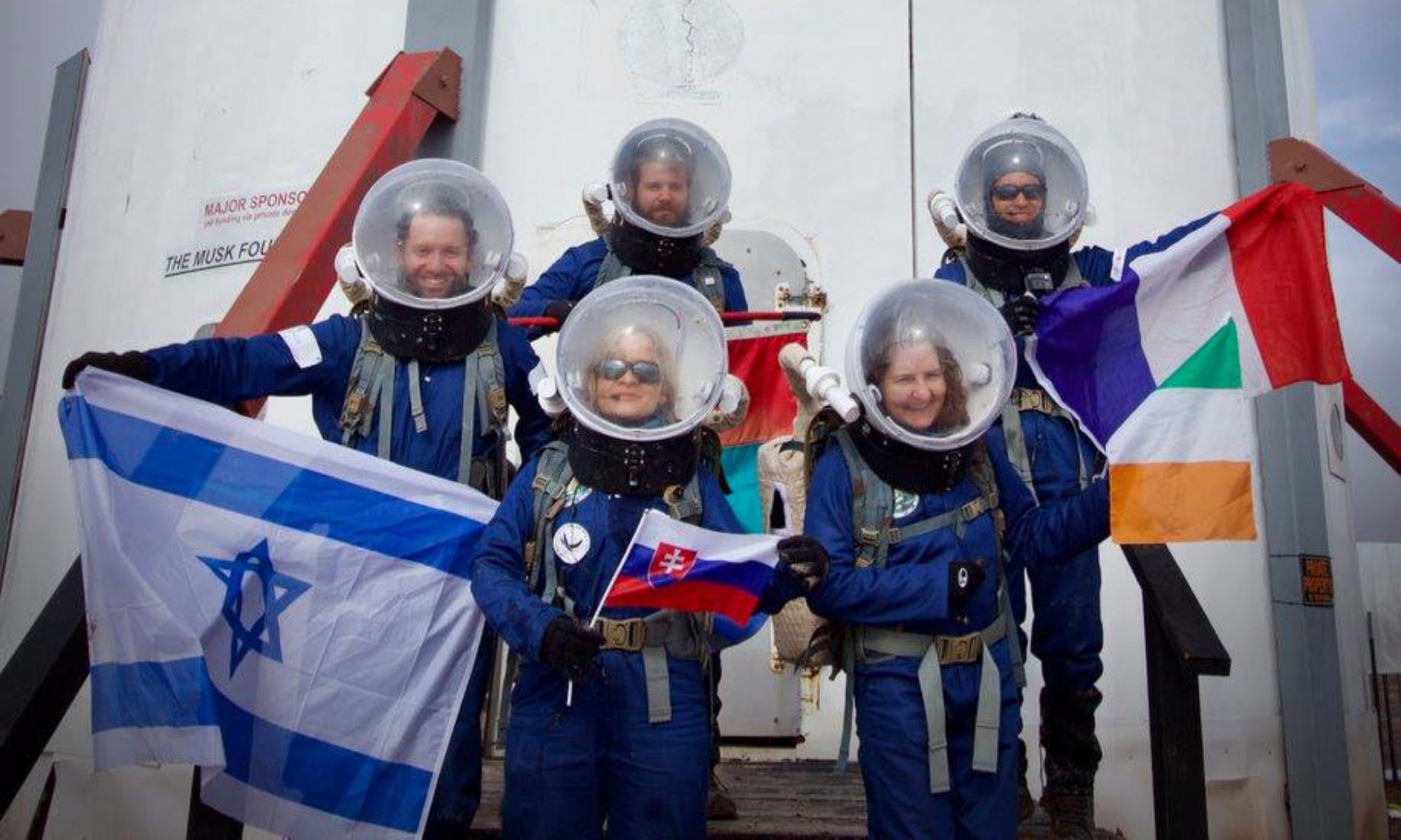
Participants: Kshitij Mall (Crew Commander), Mason Kuhn (Crew Engineer), Kenny Pritchard (Crew Journalist), Adriana Brown (Crew Geologist)
Road(s) and routes per MDRS Map: Drove south on Cow Dung Road until Kissing Camel Ridge. Walked on foot along ridge to the east and west relative to Cow Dung Road. Returned to rovers on foot and drove back to the Hab via Cow Dung Road.
Mode of travel: Driving and walking