
EVA # 4
Author: Hunter Vannier
Purpose of EVA: EVA to obtain volcanic samples in fluvial channel near Barainca Butte.
Start time: 1100
End time: 1530
Narrative: EVA began at 1100 led by Hunter and Cesare and joined by Lipi and Jesus. The crew took Spirit and Opportunity rovers south on Cow Dung Road to Barainca Butte. Spirit started with 100% charge and 238.3 hours. Opportunity started with 100% charge and 149.1 hours. The crew drove south until reaching the beginning of 1101 and parked. The crew unloaded equipment and walked west along the trail and observed numerous volcanic rocks. Approximately ~1200 they established a station to sample one large vesicular basalt boulder. The region contained numerous scattered fist-sized volcanic rocks, mostly basalt but some andesite, which appeared to be transported fluvially. We obtained spectra and documented the sampling with photographs and GPS coordinates; these steps were repeated at subsequent stations. The crew continued walking until reaching Barainca Butte and investigated the area for any other source of volcanic rocks. We then approached the butte and Cesare led sample collection of light toned sedimentary boulder and accompanying sediment, establishing Station 2. The crew observed boulders at the butte base representing multiple stratigraphic units. They then began returning to the rovers. Approximately ¼ of the way back, they established a third station and collected six samples that well represented the volcanic diversity of transported material in the region, but the question remains where exactly they were sourced from. The crew returned to the rovers at 1406 and packed the gear and stowed samples. then stopped at Kissing Camel Ridge on the way back. There, Hunter led the gathering of spectra and samples at 2 geological sites on the north side of the West Camel Ridge, following up on scouting from EVA #3. The team made it back to the HAB with Spirit at 41% charge and 238.3 hours and Opportunity at 47% and 238.3 hours. They began the reentry process for the HAB at 1520.
Destination: Barainca Butte, Kissing Camel Ridge
Coordinates (use UTM WGS 84): Barainca: N519000, E4247300; Kissing Camel: N5180000, E4249500
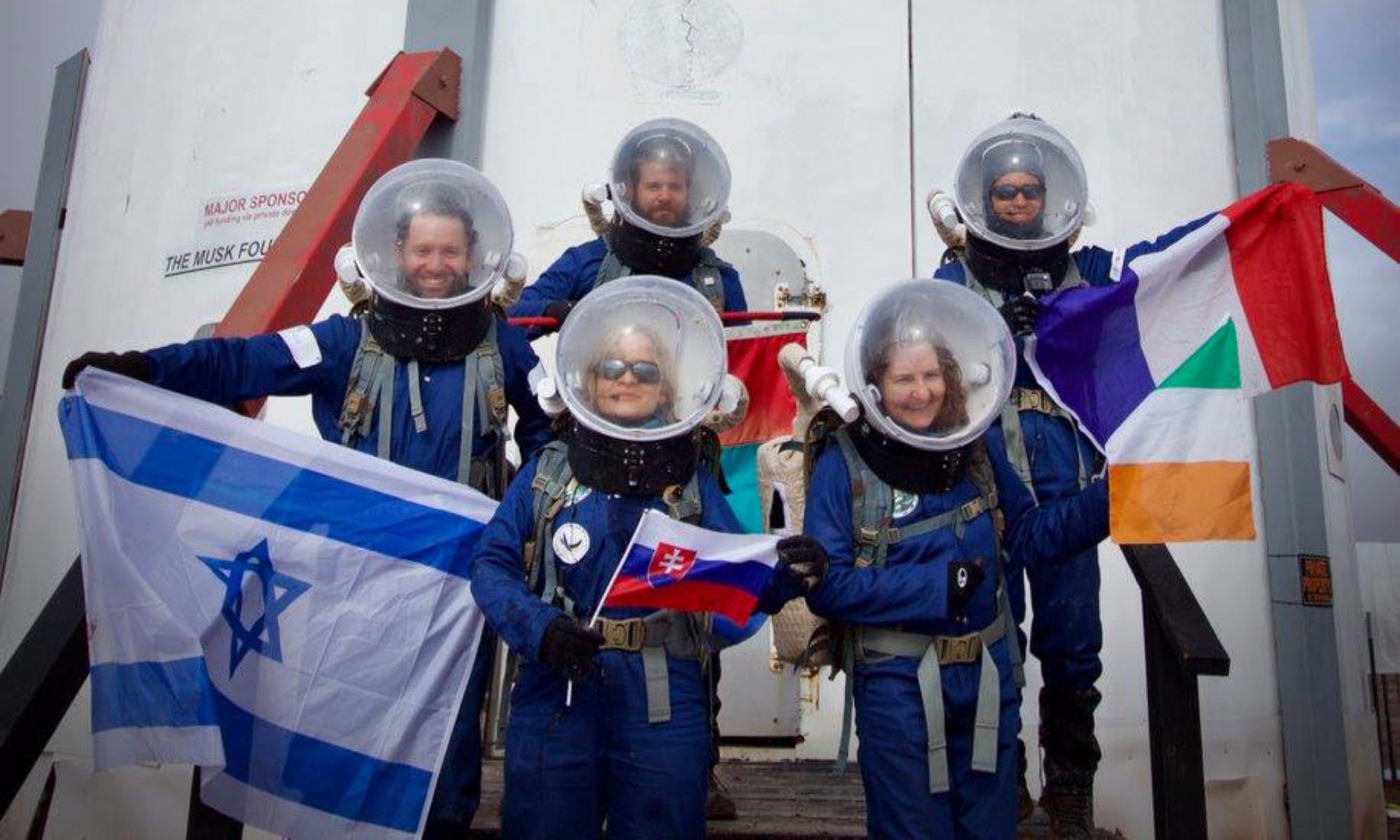
Participants: Cesare Guariniello (Executive Officer), Lipi Roy (Crew Journalist), Jesus Galvan (Crew Engineer), Hunter Vannier (Crew Geologist)
Road(s) and routes per MDRS Map: Drive south on Cow Dung Road and park at intersection with 1101. Then walk west 1-1.25 km. On return to Hab, stopped at Kissing Camel to conduct second set of measurements along the northern base of Kissing Camel Ridge W within ¼ km of road.
Mode of travel: driving and walking (Spirit and Opportunity)