Crew 279 EVA Report 09-04-2023
EVA #7
Author : Ioana Dimitrova, Crew Engineer
Purpose of EVA:
The purpose of the EVA was to check out the weather balloon and bacteria samples from Agnes in North Ridge that we put in on SOL 5. We needed to check that everything is in good condition and download the data from the arduino to analyze it in more detail. These checks are essential to ensure the accuracy and success of Agnes’ research project. It was necessary to inflate the helium balloon and therefore carry the tanks to the top of North Ridge, Ioana and Ttele were there as support.
Start time: 9:10 am
End time: 10:45 am
Narrative:
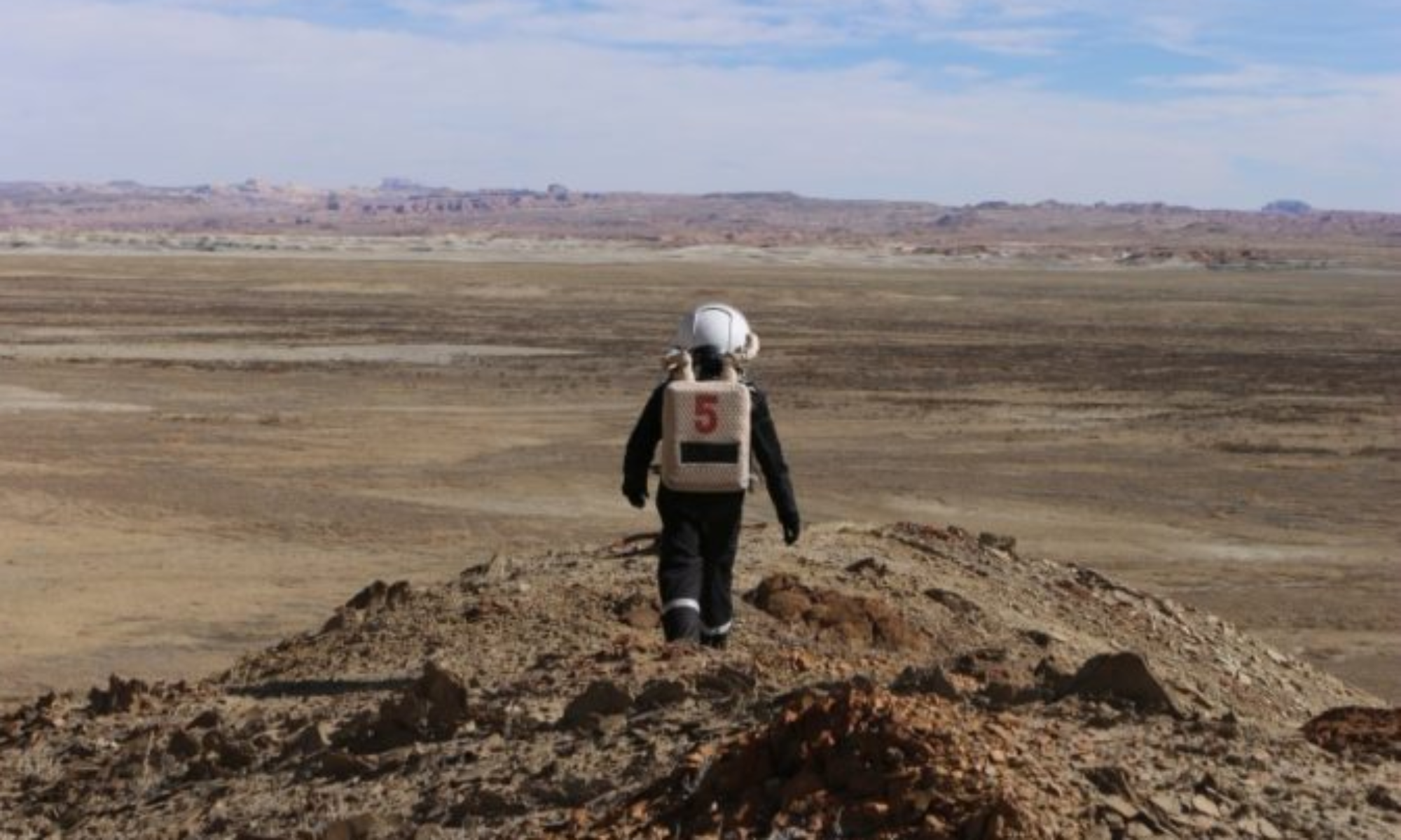
At 9:10, the three astronauts opened the door of the Hab airlock and took Opportunity and Perseverance for a drive along Cow Dung Road 0110. We parked our rovers at the left side of the road on the right side of the North Ridge, exactly where we left them at SOL 5. We climbed North Ridge quickly without problems by the same route we took last time, carrying the helium tank. We got to the top at 9:38 am. Upon arrival, we couldn’t see the weather balloon in the air and started searching for it on the ground by following the rope it was attached to. After following and untying the rope from several rocks, we retrieved the balloon. Sadly, the balloon had fallen to the ground due to a lack of helium and had a small tear in it surely from a rock or plant it had passed through. So blowing new helium in it had no sense. We untied it and took it home with us. The Arduino attached to it was also impacted by the impact of the balloon on the ground. Agnes was a bit disappointed but still happy she tried. She checked her bacteria which seemed to be in a good condition. We left them there as they won’t be analyzed until Sol11. We added a new information sign to the experiment which explained what the setup was and why people should not touch it. At 10:20, we were done with our tasks and headed down the ridge. We took our rovers at 10:38 and arrived at base on time.
Destination: North Ridge
Coordinates (use UTM WGS 84): 518500 E, 4251750 N
Participants: Ioana (EVA leader)(Crew Engineer), Agnes (XO), Ttele (HSO)
Road(s) and routes per MDRS Map: Cow Dung Road 0110
Mode of travel: Drive on Cow Dung Road 0110 to North Ridge then walking on the top of North Ridge.
EVA: # 8
Author: Augustin Tribolet, Crew GreenHab Officer
Purpose of EVA: Augustin wanted to map a Canyon for the first time. Some interesting areas protected by radiation can indeed be found in the canyon since the water dragged the rocks. The clief of both sides give a natural shield for radiation on Mars or even better cavities can be present. With the 3D map reconstructed, Augustin will see if we can refind with the 3D map reconstructed, the most protected area found onsite during the EVA. This protected region can be useful for astronauts themself to implement bases on Mars or to find life on Mars, such as extremophiles (studied by Agnès). This time it was Ioana’s turn to always have an eye on the drone to avoid a potential new crash.
Start time: 14:00
End time: 17:00
Narrative:
For the GHO’s experiment, the canyon Candor Chasma has been mapped for the first time during this EVA. The 3 crew members drove with the rovers and arrived at their destination at 14:38. The EVA started with an analysis of the terrains, some interesting areas protected from radiation have been identified inside the Canyon. Then, the drone has been deployed and launched to map regions including these identified targets. A total of four different scans were conducted, one at the entrance and three inside the canyon itself.
Due to some loss of data in the previous drone missions, Agnès and Ioana have also been trained to use the drone. They have first learned how to take off, guid the drone, perform basic commands and finally land. Then, they have learned how to scan a zone for the purpose of photogrammetry, which means programming the application controlling the drone with the good parameters (to map and keep the drone safely in the field of view). In this way, they will be able to use the drone to map some region in their next EVA for the purpose of the GreenHab Officer’s experiment.
The EVA Crew was back at the Hab at 17:00. The objectives of the EVA were completed, interesting regions were found and will be processed and analysed with the computer.
Destination: Candor Chasma
Coordinates (use UTM WSG 84): 521500 E ,4251000 N
EVA Participants: Augustin (EVA Leader, GHO), Ioana (Engineer), Agnes (XO)
Road(s) and routes per MDRS Map: Cow Dung Road 0110 and Galileo Road 1104
Mode of travel: Drive on Cow Dung Road 0110 then Galileo Road 1104 to Compass Rock then walking to Candor Chasma.

