
Crew 279 EVA Report 12-04-2023
EVA #10
Author : Antoine de Barquin Crew Commander
Purpose of EVA:
During the maximum activity of the sun, extreme solar events could occur that could also contribute to radiation on Mars. In particular, coronal mass ejections (which occurred during magnetic field line reconnections) could eject large amounts of energetic particles into space. Under certain conditions, the particles could reach the surface of Mars and could surprise astronauts during an extravehicular activity. The idea behind this EVA was to use the drone to see how to make use of the terrain at Tharsis Montes region to protect ourselves from those unpredictable events. In contrast with the previous EVA where precise maps were done, the idea for this EVA was to perform a fast scan of the terrain there with the constraint of time. As always, one person was needed in support to keep an eye on the drone, and it was Gwenael. Thomas was needed during that EVA to measure radioactivity levels of these hiding spots thanks to his scintillator. Antoine was needed there in support to note the GPS coordinates and the activity measured.
Start time: 8:13am
End time: 11:53 pm
Narrative:
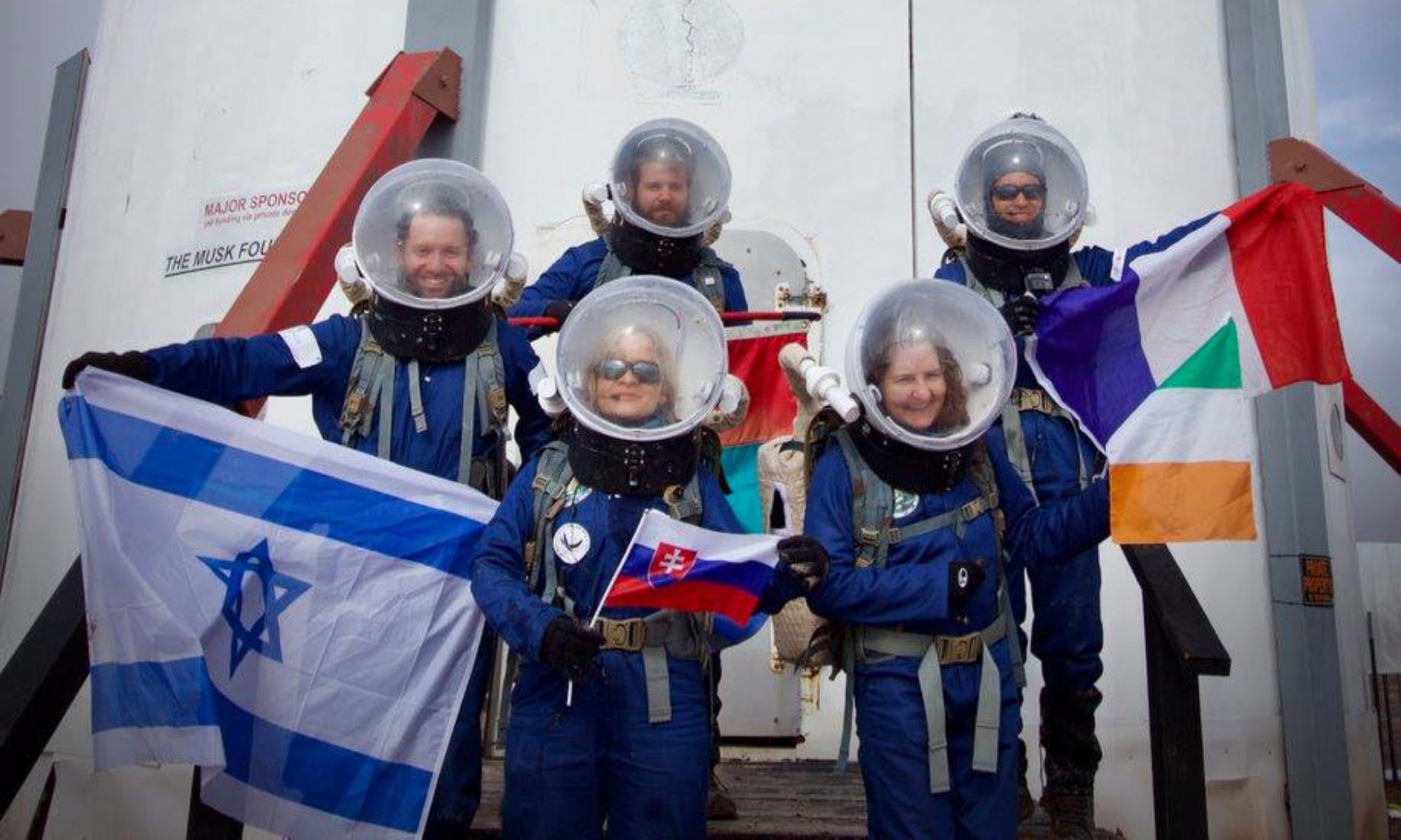
We first drove to the cowboy corner to park the rovers. Then we started the walk in direction of Tharsis Montes while passing by the canyon. Thomas made radiation measurements in the canyon with the help of Antoine to complete his study. The measurements in the canyon did not exceed 15 counts per second, so it was only the background that we measured; no isotope found. Augustin and Gwenael worked to complete the mapping for Augustin’s program.The mapping of the area by the drone was a success. The first data exports are promising and will be processed in the coming days. The pooling of radiation and drone data is therefore less interesting for this time As we were efficient and finished a bit early, Gwenael took the opportunity to make a photo shoot to thank our sponsors at the end of the EVA.
Destination: Canyon north of Tharsis Montes.
Coordinates (use UTM WGS 84): 519000 E, 4254000 N
Participants: Antoine (EVA Leader)(Commander), Thomas ( Scientist ), Gwen ( astronomer ) , Augustin ( GHO )
Road(s) and routes per MDRS Map: Cow Dung Road 0110
Mode of travel: driving to Cowboy Corner then walking to the canyon north of Tharsis Montes.
EVA #11
Author : Ttele Hiriart, Crew Health and Safety Officer
Purpose of EVA:
During SOL 3, the Kissing Kamel Ridge W has been mapped extensively. After reprocessing the images, some interesting areas have been found for the purpose of the GHO’s experiment. We discovered some cavities that could protect humans from radiation. After making some measurements on the 3D model, Augustin needed to check the efficiency of his model by making the same measurements on the field. Ttele was there to help with measurements and GPS data.
Agnès could thus see if some microorganisms could be living in those cavities, protected from the radiation, and compare them with microorganisms exposed to the radiation on the same field. This will add some credit to her experiment about extremophiles and their resistance to radiation. Their viability could then be compared to microorganisms actually living on Mars.
Start time : 14:05 pm
End time : 16:49 pm
Narrative :
This afternoon, after a good meal, we got prepared for the EVA with Augustin and Agnès. With the clouds the weather was not as hot as expected. We took the two rovers and drove to Camel Ridge. We walked to go to the place we went last time. On the way we found two other caves that we measured and took pictures of. They were big enough to squeeze in and hide if necessary. That is why, we made two mappings with the drone, to be able to complete the map we started last time we came.
Arriving at the place we visited last time, we matched the mapping with the cave Augustin noted last time, and verified the measures. Agnès took some stone and earth samples to see if she could find some microorganisms on them. If she finds some, she will compare them with microorganisms exposed to the radiation in the same field. At the same time, I was helping with the drone and making sure we didn’t lose it this time. I also helped Augustin with his measurements and Agnès to carry her samples.
From the top, we noticed some Martians visiting the area. We were lucky to find some animal footprints again. We also saw two big black birds, but couldn’t say which breed they were, because we were too far. When we finished to map, we came down, took the rovers and arrived at 16h47, parked the rovers and came back into the hab. Another successful EVA.
Destination: Kissing Kamel Ridge W
Coordinates (use UTM WSG 84): 518000 E, 4249500 N
EVA Participants: Ttele (EVA Leader) (HSO), Augustin (GreenHab), Agnès (XO)
Road(s) and routes per MDRS Map: Cow Dung Road 0110
Mode of travel: Driving to Kamel Ridge then walking around no further than 300m