
Crew 281 EVA Report 23-05-2023
EVA # 10
Authors: Ritupriya Patil (Executive Officer), Ana Pires (Crew Scientist)
Purpose of EVA:
Drone flight to record and do aerial imagery for new exploration areas
Acquire vertical images and videos for previously done geotechnical survey of Pooh’s Corner
Start time: 0750 hrs
End time: 1038 hrs
Narrative:
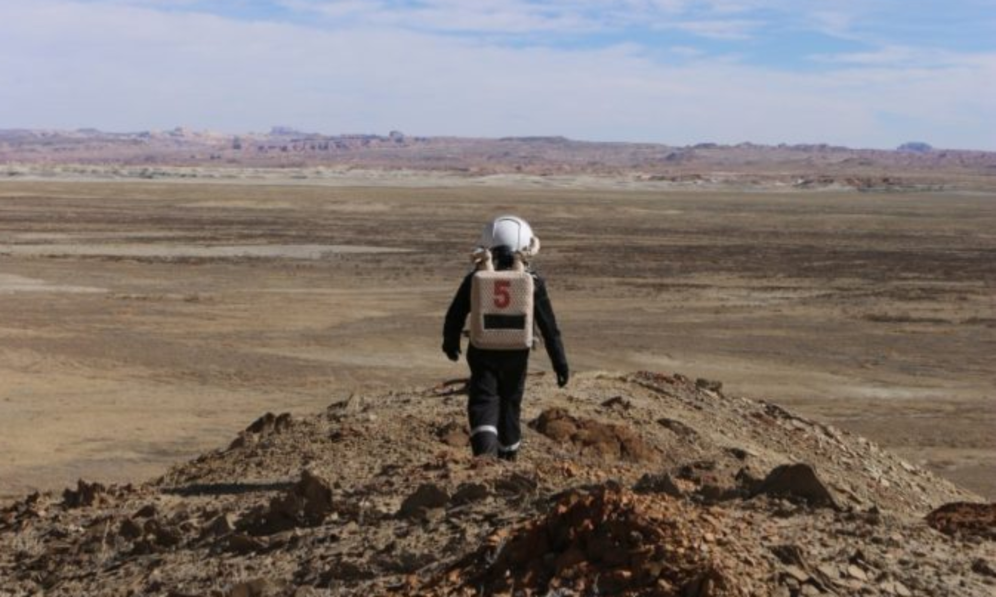
This was first long EVA with a crew of two. At 0745 hrs the crew entered the airlock exiting at 0750 hrs. They first checked all the rovers and collected the hours and SoC information, and it was verified that all were securely plugged in. They then unplugged Opportunity and headed out for the first destination at 0758 for the intersection of Cow Dung and Hwy 1572. The area was interesting due to the geological features that made a unique mix as if they were partly from moon and mars. The crew witnessed shades and combinations of red and white at various locations around. On arrival to the site, Ana (Crew Scientist) collected 9 rocks (270 g) and soil (55 g). It was drizzling initially but the clouds dispersed by the time the crew arrived and Ritu (XO, EVA Lead) was able to deploy the drone at 0845, capture aerial imagery and videos, and land at 0855 with a 58% battery.
For the next stop, the crew wrapped up and drove on Hwy 1572 until they arrived at the ‘Y’ fork at the Overlook region. Weather was perfect, bright and sunny. Ritu was able to record good footage of the site, with the drone deployed at 0912 and landed at 0924 with 15% battery remaining. Meanwhile, Ana collected 9 rock samples for total of 206 g.
The crew then left for Pooh’s Corner on their way back and acquired vertical and oblique drone images and videos for previously done geotechnical survey for control point 2. This will aid to georeferencing the region under study. The drone batteries were swapped, drone was deployed at 1016 (at 97% battery), the winds had picked up by this time , but the drone was successfully landed at 1025 with 57% battery. The crew left for MDRS right after and arrived at 1037.
During the EVA, the crew observed that Opportunity rover experienced faster drop in the initial 15-20% of battery SoC. By the time they got to the Overlook (almost 7 Km), the charge had dropped to 67%. However, after that the rover’s performance was good and, on the journey back, the SoC was 57%.
Water checks were done approximately every half an hour.
Overview of EVA
Drove to the intersection of Cow Dung and Hwy 1572 and then walk no more than a radius of 100m to explore the area
Drove further on Hwy 1572 to explore the Overlook region, while walking no more than a radius of 500m
On the way back stopped at Pooh’s Corner, walking no more than a radius of 500m;
Issues Experienced During EVA
Comms issues throughout. This was expected per Mission Support’s advice.
Weather was initially an issue with drizzle and winds
XO, suite buckle came undone a couple of times while retrieving the drone from travel packaging. It could have been due to inadvertent pressure on the belt buckle and it popped open.
Outcomes
Crew completed Rover checks
Explored intersection of Cow Dung and Hwy 1572 area, collected soil and rock samples, and drone footage
Explored the Overlook region9 rock samples for total of 206 g and drone footage
Collected drone footage of survey area at Pooh’s Corner collected
Collected 18 rocks, 479 g; 1 tube of soil, 55 g
Destination: MDRS Hab and surrounding 500 m radius
Coordinates :
(use UTM WSG 84): 517533E, 4254823N
(use UTM WSG 84): 516055E, 4254568N
(use UTM WSG 84): 519025 E, 4251183 N
EVA Participants 2: Ritupriya Patil (XO, EVA Lead), Ana Pires (Crew Scientist)
Road(s) and routes per MDRS Map:
Drive on Cow Dung Road take left on Hwy 1572, park on the side of intersection
Drive on Hwy 1572 until the ‘Y’ fork at the Overlook region
Drive on Cow Dung Road and walk left hand side to Pooh’s Corner, scanline boulders
Mode of travel: Rover