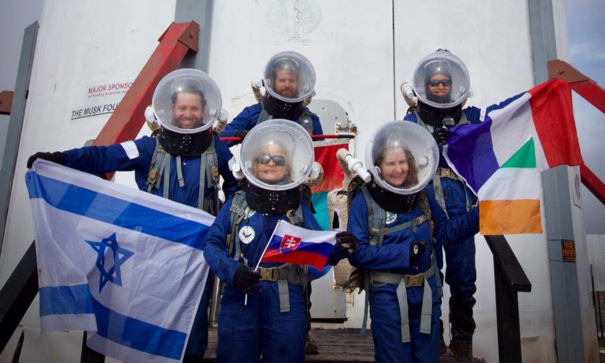
Crew 299 EVA 5 Report 5-17-2024
EVA #5
Author: Noah Mugan
Purpose of EVA: Walking EVA around the hab to gather drone footage and survey the environment from the western hills.
Start Time: 8:35 AM
End Time: 9:10 AM
Narrative: The EVA team walked around the hab and piloted the drone around the surrounding airspace. Using the drone, they obtained footage for topography mapping and general photography. After landing the drone, they climbed the small slopes behind the hab to view and photograph the nearby terrain.
Destination: Hab
Coordinates: 518100, 4250900
EVA Participants: Noah (Biologist and Greenhab Officer), Rishabh (Engineer)
Road(s) and routes per MDRS Map: None
Mode of travel: Walking

