
EVA # 1
Author: Alli Taylor
Purpose of EVA: Familiarize with radio communications protocols and driving rovers with spacesuits on.
Start time: 1:17pm
End time: 2:00pm
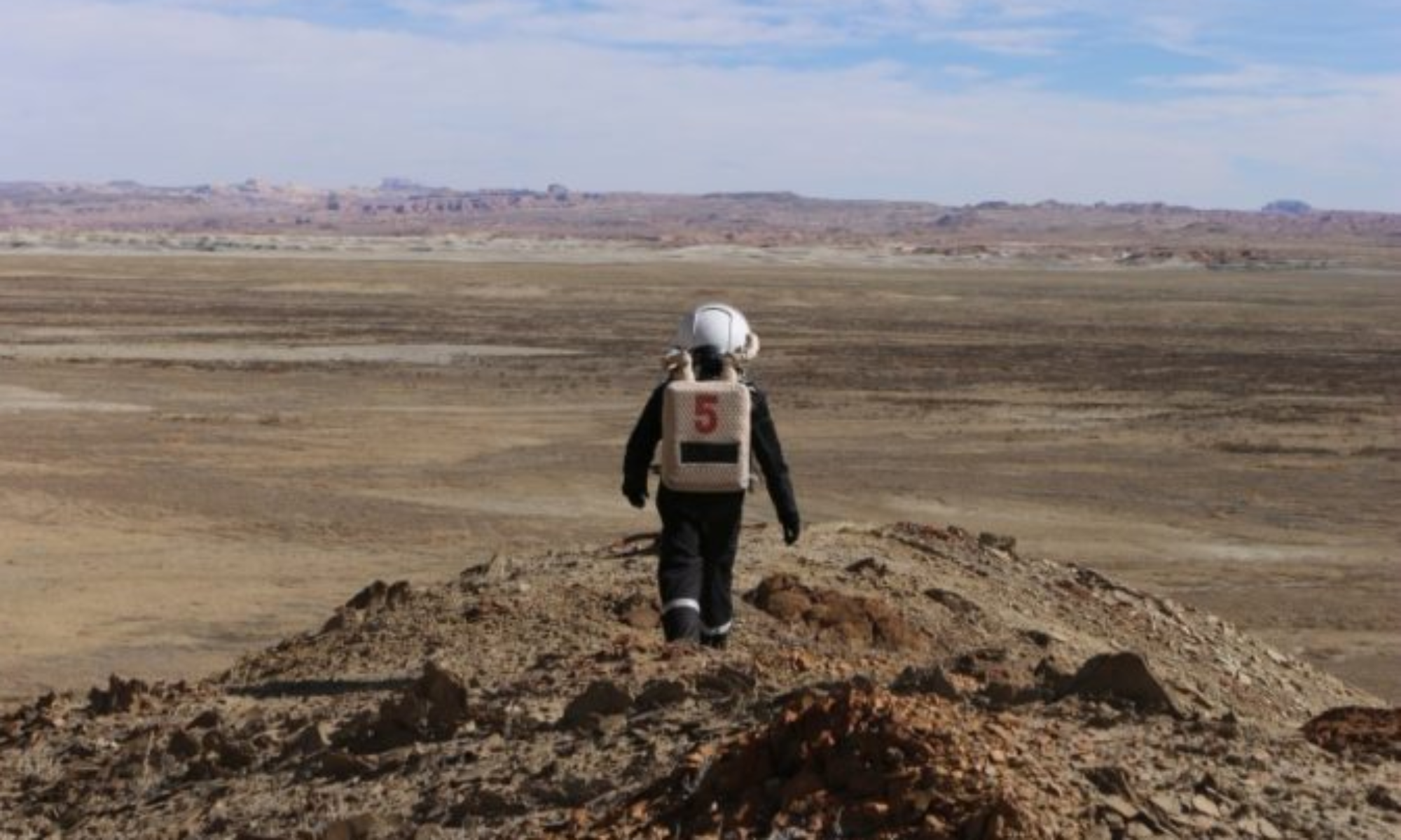
Narrative: Three crew took two rovers a short distance to Marble Ritual in order to acclimate to driving in a spacesuit and familiarize with use of radio. Short amount of time spent exploring the local area before heading back to the habitat.
Destination: Marble Ritual
Coordinates (use UTM WGS 84):
Participants: Kristine Ferrone, Alli Taylor, Matt Eby
Road(s) and routes per MDRS Map: Cow Dung Rd (0110) to Marble Ritual
Mode of travel: Rovers (Curie, Oppy), Walking
EVA # 2
Author: Alli Taylor, Trevor Jahn
Purpose of EVA: Familiarize with radio communications protocols and driving rovers with spacesuits on.
Start time: 2:42pm
End time: 4:11pm
Narrative: Three crew took two rovers a short distance to Marble Ritual in order to acclimate to driving in a spacesuit and familiarize with use of radio. Additionally, the crew used a remote control mini-ATV with cameras, dubbed “Goose”, controlled from a follow distance of roughly 80-100 ft. The trio drove the RC rover from Marble Ritual, south along Cow Dung Road, and back to the road which turns west back towards the crew habitat collecting data along the way. The EVA was running out of time by then, so the three quickly changed the RC rover configuration for a 3rd time and drove it in a short loop around Marble Ritual collecting data before returning to the crew habitat. The EVA team had some trouble with the airlock door but were able to get it shut after much labor, and concluded the EVA. Crew was 11 mins late getting back to hab due to misunderstanding the EVA would be full 2 hours but the team had failed to re-check the EVA request to confirm before starting the EVA. Next time the crew will double check EVA end time prior to beginning EVA.
Destination: Marble Ritual
Coordinates (use UTM WGS 84):
Participants: Barbara Braun, Ashley Kowalski, Trevor Jahn
Road(s) and routes per MDRS Map: Cow Dung Rd (0110) to Marble Ritual
Mode of travel: Rovers (Spirit, Percy), Walking