EVA Report #2 – April 17th

Crew 245 EVA Report 17-04-2022
SOL: 7
EVA #: 8
Author: Dr. Nadia Maarouf

Purpose of EVA: Samples collection for the geology, sample collection tool testing, and Helmet testing

Start time: 07:35
End time: 10:00

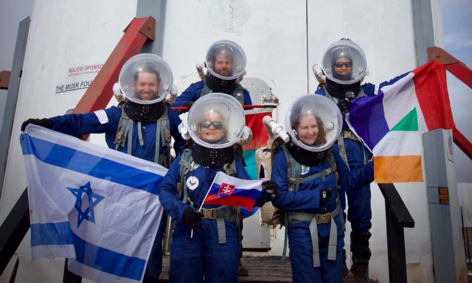
Narrative: Crew drove to Moon Overlook (zone D from the new map), the "Moon" from the old map, then (possibly) up to north Copernicus to zone A from the new map. we tested the new helmet and aborted the EVA due to a backpack malfunction (#3). We drove back to the hab fast but safe.

Destination: Moon Overlook
Coordinates (UTM NAD27 CONUS): 4254400 N, 516000 E
4256400 N, 517000 E
Participants: Nadia (Commander) Paolo (HSO). Luca and Benjamin
Road(s) and routes per MDRS Map: North on Cow Dung Road 0110 then Brahe Hwy1572 then Copernicus Hwy 0157
Mode of travel: Rover and Walking

EVA Report – April 17th

Crew 245 EVA Report 17-04-2022
SOL: 7
EVA #: 9
Author: Simone Paternostro

Purpose of EVA: EVA to collect a biological sample, retrieve the lost shoe sensor and perform a mapping run with the drone.

Start time: 15:30
End time: 18:00

Narrative: The crew took Spirit and drove in the direction of Peanut hill where they followed the path performed on Sol 7 and found the lost shoe sensor. After that, they walked to Peanut hill to collect a sample for the microbiology experiment. Once collected, they went back to the rover and drove to the Wash tank where they performed the mapping of part of the area with a quadcopter.

Destination: Peanut hill and Tank wash
Coordinates (UTM NAD27 CONUS): 4252697 N; 519588 E
Participants: Simone Paternostro (EVA Commander), Vittorio Netti (HSO)
Road(s) and routes per MDRS Map: Cow Dung Road and Galileo Road
Mode of travel: Rover and Walking"

Crew 245 EVA Report April 7th

See corrected version below. Sorry.

Crew 245 EVA Report 17-04-2022
SOL: 7
EVA #: 7
Author: Vittorio Netti

Purpose of EVA: 3D scanning and drone mapping
Start time: 10:30
End time: 12:00
Narrative: The wind was too high for the drone mapping, Vittorio Netti and Paolo Guardabasso performed 3D scans of two rock formations. Opportunity rover overheated during the travel back to the habitat, but the commander has been able to drive it back to the habitat with additional time.
Destination: North on Cow Dung Road 0110 until Tank wash
Coordinates (UTM NAD27 CONUS): 518282 N, 4253779 E
Participants: Vittorio Netti (EVA Commander), Luca Rossettini, Paolo Guardabasso, Nadia Marouff (EVA HSO)
Road(s) and routes per MDRS Map: Cow Dung Road
Mode of travel: Rover and Walking

Crew 245 EVA Report April 14th

Crew 245 EVA Report 17-04-2022
SOL: 7
EVA #: 7
Author: Vittorio Netti

Purpose of EVA: 3D scanning and drone mapping
Start time: 10:30
End time: 12:00
Narrative: The wind was too high for the drone mapping, Vittorio Netti and Paolo Guardabasso performed 3D scans of two rock formations. Opportunity rover overheated during the travel back to the habitat, but the commander has been able to drive it back to the habitat with additional time.
Destination: North on Cow Dung Road 0110 until Tank wash
Coordinates (UTM NAD27 CONUS): 518282 N, 4253779 E
Participants: Vittorio Netti (EVA Commander), Luca Rossettini, Paolo Guardabasso, Nadia Marouff (EVA HSO)
Road(s) and routes per MDRS Map: Cow Dung Road
Mode of travel: Rover and Walking

EVA Report – April 13th

Crew 245 EVA #2 Report 13-04-2022
SOL: 3
EVA #: 2
Author: Simone Paternostro

Purpose of EVA: We performed another EVA to collect geological and biological samples in three locations in the vicinity of the Habitat and East area (Pooh’s corner) and continue to collect data with wearable sensors on arms and shoes.

Start time: 10:00
End time: 12:30

Narrative: The crew collected the first samples in the area next to the solar panels on the east side. After that, they took two rovers (Spirit and Opportunity) and reached two additional points on the East side of the Habitat (one near the Marble ritual and one in Pooh’s corner)

Destination: Marble ritual and Pooh’s corner

Coordinates (UTM NAD27 CONUS): 4250946.023 518266.204
4251040.273 518584.714
4250991.861 518827.441

Participants: Simone Paternostro (EVA Commander), Nadia Maarouf (EVA HSO), Benjamin Pothier
Road(s) and routes per MDRS Map: Cow Dung road and Lowell Highway

Mode of travel: Walking and Rover

EVA Report – April 13th

Crew 245 EVA Report 13-04-2022
SOL: 3
EVA #: 3
Author: Vittorio Netti

Purpose of EVA: Install the antenna ground component

Start time: 14:30
End time: 17:00

Narrative: The purpose of this EVA was to install the ground component of the satellite antenna for the D-Orbit experiment. The tasks included the positioning on the ground of a 5.5 feet metal pole and the deployment of three metal cables connected to three concrete counterweights to stabilize the Antenna in case of high winds. The manual work was particularly challenging due to the need to tighten 36 metal M2 bolts on the cables.

We also filled two plastic bags with Martian regolith to provide additional stabilization to the feet of the pole. At the end of the EVA, we dedicated some time to looking for a lost suit sensor from the previous EVA crew, unsuccessfully.

Destination: Outside of the RAM

Coordinates (UTM NAD27 CONUS): 4250929.883 N; 518164.975 E

Participants: Paolo Guardabasso (EVA Commander), Vittorio Netti (EVA HSO), Luca Rossettini

Road(s) and routes per MDRS Map: outside of the RAM

Mode of Travel: Walking

Commander out.

Crew 245 EVA Report 12 APR 2022

[EVA Report April 12th]

Crew 245 EVA Report 12-04-2022
SOL: 2
EVA #: 1
Author: Simone Paternostro

Purpose of EVA: We performed our first EVA of the mission to and collect geological and biological samples in two locations in the vicinity of Marble Ritual, test driving rovers, troubleshoot wearable sensors on arm and shoe
Start time: 10:30
End time: 12:30
Narrative: The three crew members left the Hab and moved in the direction of West, North-West with two rovers (Opportunity and Perseverance). After few hundreds meter from the habitat we stopped to reach the first targeted point to collect the geological and biological sample. Being the first time, it took a bit of time to follow the procedure for the collection that required to take several pictures, note down coordinates and descriptions of the locations and samples, but it went already much faster at the second location. The crew came back at the hab perfectly on time and successfully collected 2 geological samples and 2 biological samples that will be analysed/processed later on during the mission.
Destination: Area around Maple Ritual.
Coordinates (UTM NAD27 CONUS): 4250650 N; 518850 E
Participants: Paolo Guardabasso (EVA Commander), Simone Paternostro (EVA HSO), Benjamin Pothier
Road(s) and routes per MDRS Map: Cow Dung Road 0110
Mode of travel: Rovers and walking

EVA Report – April 8th

Crew 227 EVA Report 08/04/2022
SOL: 12
Name of person filing report: Jean Jacobs

Author: Jean Jacobs

Purpose of EVA: Exploration of Candor Chasma for data gathering.

Start time: 9:00 am

End time: 12:00 pm

Narrative: Exploration of Candor Chasma, Ignacio wore a ECG measuring device. The discovery proved to be physically demanding and the data will probably show an intense cardiac activity. Cyril was able to fly with the drone following the indications from the other team members.

Destination: Candor Chasma

Coordinates: 425100 N ; 520500 E

Participants: Cyril, Ignacio, Jean, Julie, Sirga

Roads and routes per MDRS map: Cow Dung Rd 0110, Galileo Rd 1104

Mode of travel: Curiosity, Perseverance, Spirit

Crew 227 EVA Report April 5th

Crew 227 EVA Report 05/04/2022
SOL: 9
Name of person filing report: Jean Jacobs
Purpose of EVA: Experiment of broken leg fixator on EVA and exploration of the moon like D area.
Start time: 9:00
End time: 1:30 pm
Narrative: The EVA team set out North to Brahe Hwy and helped Cyril gather its data on soil dielectric properties. Once this was done, the team dropped back Audrey at the HAB to prepare for her lex fixing experiment. Unfortunately, this was not enough as the broken leg could not be fixed within time constraints. The other bone was however superbly assembled by Ignacio.
Destination: Moon like D area around Brahe Hwy
Coordinates: 4254500 N ; 516000 E
Participants: Julien, Cyril, Audrey, Cheyenne, Ignacio
Roads and routes per MDRS map: Cow Dung Rd 0110, Brahe Hwy 1774
Mode of travel: Perseverance, Curiosity, Spirit

Eva Report – April 4th

Crew 227 EVA Report 04/04/2022
SOL: 8
Name of person filing report: Jean Jacobs
Author: Jean Jacobs

Hello capcom,

Thank you for reading us!

Purpose of EVA: Experiment of broken leg fixator on EVA and exploration of the area North near to the HAB.
Start time: 9:00
End time: 12:00
Narrative: After walking to Schubert pass, the EVA team set up for Julie’s experiment. 2 broken legs were brought with us. Cyril and Jean were able to fix their respective leg. The team then walked to Hab view North as well as towards the North to take pictures.
Destination: Schubert Pass and HAB Ridge Rd
Coordinates: 4251500 N; 517900 E
Participants: Jean, Cyril, Sirga, Julie, Ignacio
Roads and routes per MDRS map: Path 1103
Mode of travel: by foot

Sincerely,
Jean Jacobs

Copyright © The Mars Society. All rights reserved. | Main Site