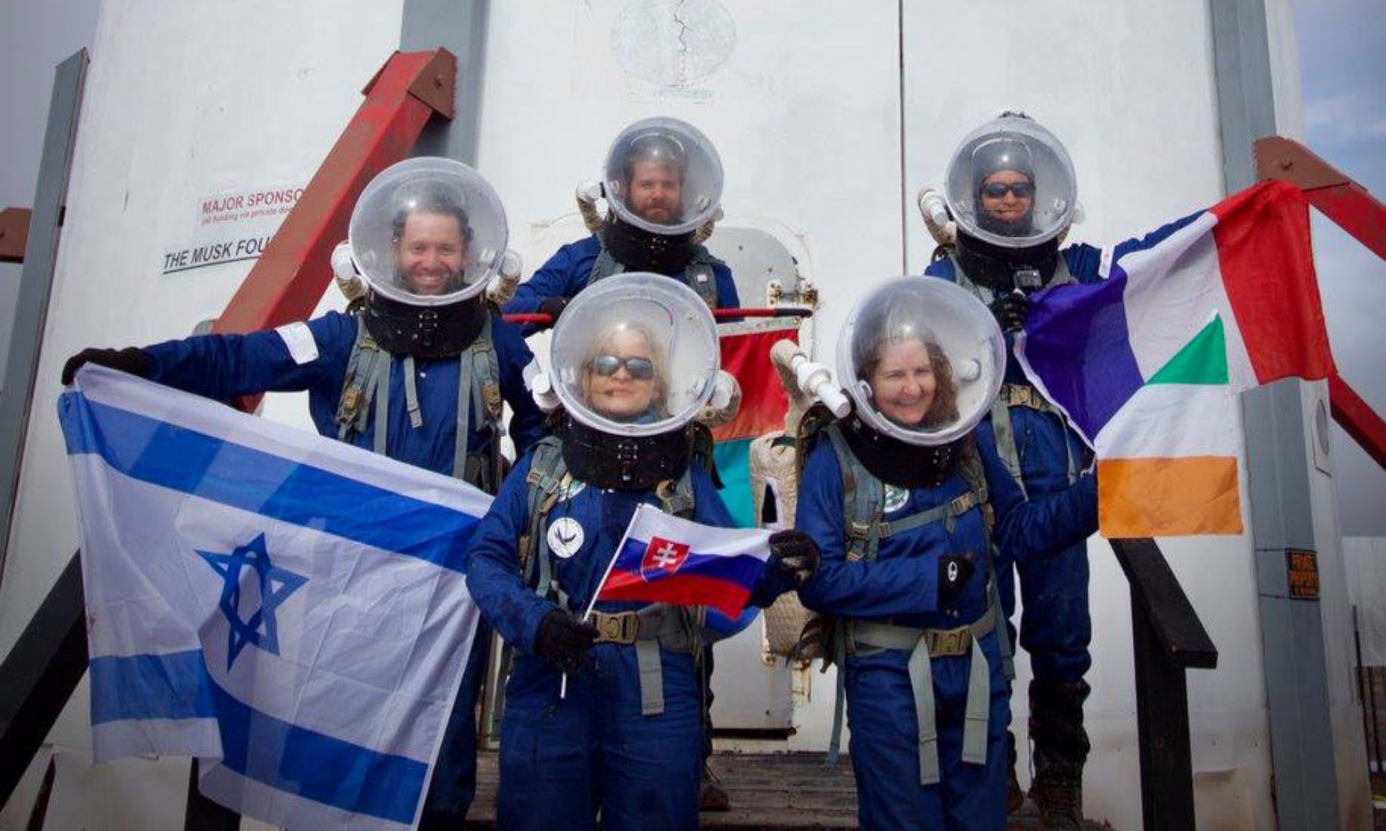
EVA Report for 26Jan2018
Author: Oscar Ojeda
Start time: 10:00
End time: 15:00
Purpose of EVA: Aerial mapping of terrain, testing of long-range EVA protocols, testing of temperature regulation vest, Collection of possible halophile samples, Testing of the Guache Rover.
Destination: Unnamed zone on 1101 marker, west of Cow Dung Road, near white rock canyon
Coordinates: 519000 E, 4247500 N
Participants: Danton, Oscar, Tania, and Cynthia
Narrative: Today we were going to a place that was never explored by a crew before, and we took out our official pet, the Porg, with us. The crew left the airlock at 10:35 and headed south in 4 ATVs, upon finding the pole 1101 trough Cow Dung road, after about half an hour of traverse, we proceeded to drive into a road that hasn’t been used in a long while. The Road was very harsh, and we had to go very slow, so we decided to name the road “Despacito Rd”. Upon arriving we found several areas to explore, each one as beautiful as the other. Then is was when we realized that it was our last exploration EVA, and our goodbye from Mars. We walked through a canyon, which we decided to name Porg Canyon. The area is very rich geologically, with several sedimentary deposits, as well as clast rocks. There was also evidence of herbivore animals. The crew walked for 2 hours in the canyon and returned to the ATVs, starting the road home. Midway, the crew stopped in a rocky plain to test the functionality of the Guache Rover, using a wheel that was 3D printed in metal by the company ITAMCO, and designed with Purdue University. After that the crew resumed the way home, entering the airlock at 14:45.
No incident or anomaly was sustained during the EVA.

