
Crew 299 EVA 10 Report 5-21-2024
EVA #11
Author: Aravind Karthigeyan
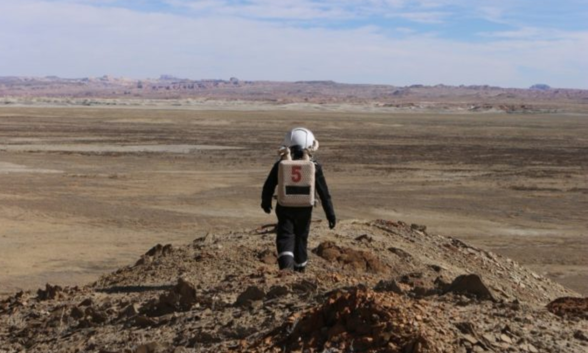
Purpose of EVA: Travel to Hab Ridge to get interesting pictures and to see the Hab from a higher elevation. We also tested the UV detector and Geiger counter at different elevations.
Start Time: 10:18 AM
End Time: 11:47 AM
Narrative: EVA crew embarked on a hike up Hab Ridge. We started on a riverbed which eventually led us to a more path-like area up the ridge. We were eventually able to get to the highest local elevation and then were able to see the Hab and have people in the Hab see us and take photographs.
Destination: Hab Ridge
Coordinates:
518000, 4250000 (Hab Ridge)
EVA Participants: Noah (Biologist), Avery (XO and Astronomer), and Aravind (Chemist)
Road(s) and routes per MDRS Map: Hab Ridge Trail
Mode of travel: Walking