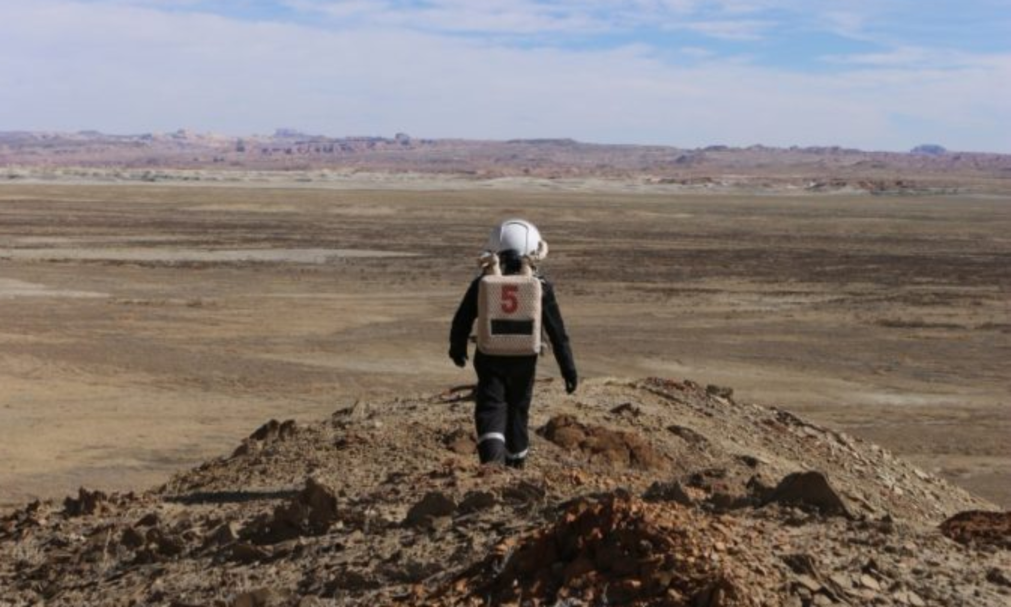
Crew 240 EVA Report 03-02-2022
EVA #4
Author: François Vinet
Purpose of EVA: 3D mapping North Ridge with a drone, climbing up Hab Ridge
Start time: 2.00pm
End time: 3.45pm
Narrative: It took 20 minutes to reach North Ridge on foot. The 3D mapping by drones was complicated and had to be done 2 times but the end result was satisfactory. The following goal was to climb the Hab Ridge to see the station from above and explore the area. However, one of the members had a significant back pain because of the suit followed by a loss of headset and microphones (the microphone used was different from the others and it is the second time we have a problem with it. A replacement request will be done in the Operation Report. Moreover, some tests will be done during the evening with the suit to adapt it better to the member). We decided to turn around before reaching Hab Rridge and we went back to the Hab.
Destination: North Ridge
Coordinates (use UTM NAD27 CONUS): 518500, 4251500
Participants: Marion Burnichon, Pierre Fabre, Julie Levita, François Vinet
Road(s) and routes per MDRS Map: Entrance Road
Mode of travel: by foot

