Crew 240 EVA Report 04Feb2022
EVA # 5
Author: Pierre Fabre
Purpose of EVA: Examining the impact of 3D mapping data to EVA efficiency, following a 3D scan of the North Ridge area.
Start time: 11:15
End time: 13:43
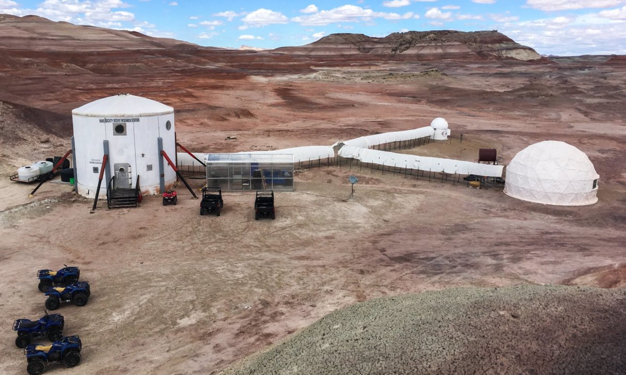
Narrative: Driving to the crossing between Cow Dung Road and Galileo Road went well, following which we headed West. Finding ways to climb up the ridge from its northern face, which no participant had visited prior was arduous, and many attempts were stopped to ensure the utmost safety. During a safer climb, Clément’s radio dropped and took his headset with it. He managed to communicate efficiently through non-verbal means, and shortly after successful return to the rovers took place. We drove back to the LOAC experiment, and battery was replaced without issue. I then took some aerial shots of campus from the drone, and we went back in.
Destination: North Ridge
Coordinates (use UTM NAD27 CONUS): 5185000 4251500
Participants: Pierre Fabre, Julie Levita, Maxime Jalabert, Clément Plagne
Road(s) and routes per MDRS Map: Entrance Road, Cow Dung Road
Mode of travel: Rovers Spirit and Opportunity

