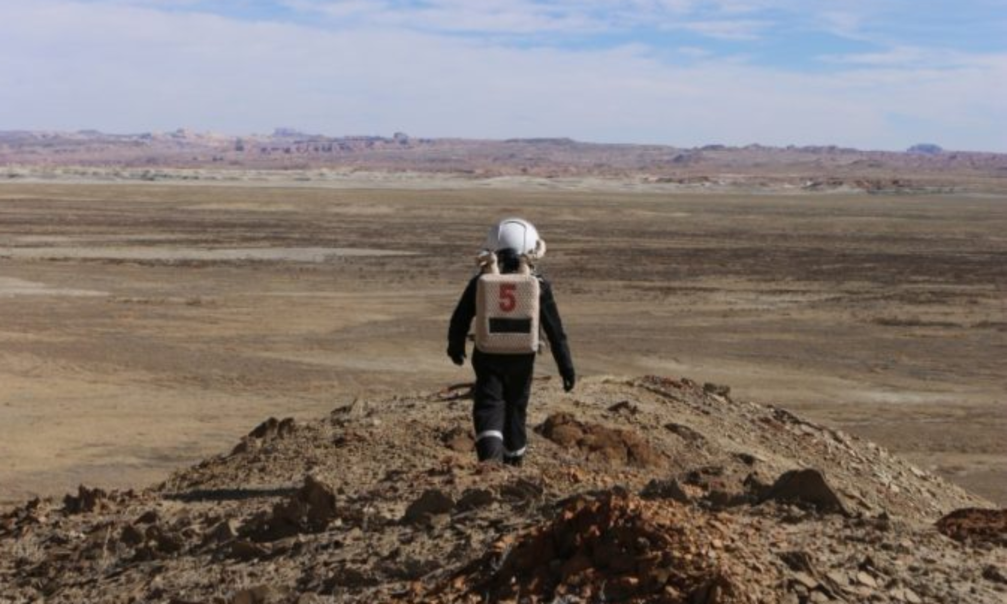
Crew 306 EVA Report 27-12-2024
EVA # 06
Author: Elizabeth Howard
Purpose of EVA: The first purpose of this EVA was to collect samples for Crew Commander Jesus Meza’s in-situ resource utilization project and take magnetic readings for Crew Geologist Elizabeth Howard’s project. The other goal was so Crew Journalist Rodrigo Schmitt could perform flight tests of the Drone/Li-DAR system.
Start time: 9:40 AM
End time: 13:00 PM
Narrative: The EVA crew headed out towards Skyline Ridge, trying to make good time in order to flight test before the wind picked up too much to fly. About a third of the way down Sagan Street, Crew Journalist Rodrigo Schmitt and Crew Health and Safety Officer (HSO) Ryan Villarreal began setting up the Drone/Li-DAR system for flight testing just off the side of the Sagan street. Crew Geologist Elizabeth Howard walked to a spot slightly further down Sagan Street to set up the EMF meter, leaving it to log data. At the first location, the DRONE performed three flight tests before the EVA crew packed up and headed down to the base of Skyline Ridge. At Skyline Ridge, Crew Geologist Elizabeth Howard collected and labeled samples for Crew Commander Jesus Meza’s research project. Meanwhile, Crew Journalist Rodrigo Schmitt and Crew HSO Ryan Villarreal began setting up and flight testing the DRONE. After performing two flight tests at the base of the Ridge, the crew had exactly enough time to get back the MDRS by the designated EVA end time.
Destination: Skyline Ridge
Coordinates (use UTM WGS 84): 4251500E, 515000N
Participants: Ryan Villarreal, Rodrigo Schmitt, Elizabeth Howard
Road(s) and routes per MDRS Map: EVA team left the HAB and traveled on foot towards North Ridge, then took the collapsed road upwards to Hab Ridge (4251500, 517750). Instead of following the trail all the way to Hab Ridge, the crew traveled west along Sagan Street towards Skyline Ridge (4251500, 515000) to place the EMF meter for datalogging and collect soil samples along the planes at the base of the cliff. The Drone/Li-DAR system was flight tested about a third of the way down Sagan Street and at the base of Skyline Ridge.
Mode of travel: Walking

