Crew 306 EVA Report 02-01-2025
EVA # 12
Author: Elizabeth Howard
Purpose of EVA: The first purpose of this EVA was to collect data for Crew Journalist Rodrigo Schmitt’s DRONE project. Flight tests were planned and carried out for the Drone/Li-DAR system during this EVA. Additionally, this EVA allowed Crew Geologist Elizabeth Howard to continue taking EMF meter readings during the time the crew was out.
Start time: 10:02 AM
End time: 13:18 PM
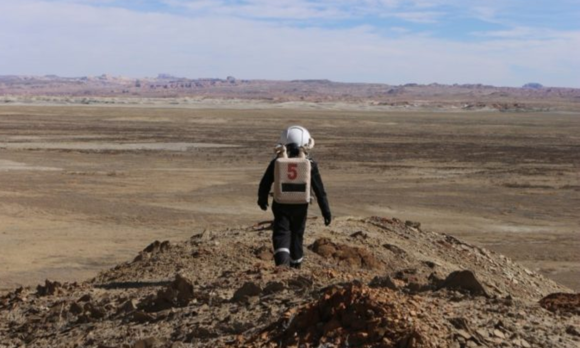
Narrative: After driving over to the EVA location, the EVA crew headed to the White Rock Canyon area, where Crew Journalist Rodrigo Schmitt and Crew Engineer Keegan Chavez made four DRONE flight tests to take data. After this, the crew began walking in the direction of Barrainca Butte. Along the way, Crew Geologist Elizabeth Howard set up the EMF meter, took a soil sample for reference, and left the instrument to log data for the duration of the EVA. The EVA crew stopped partway to Barrainca Butte, where five more flight tests were conducted with the Drone/Li-DAR system. Finally, the crew made their way to the base of Barrainca Butte, where they set up for DRONE flight tests; however, after beginning the first flight at this location, the DRONE experienced a hardware failure that terminated flights at this location. Following this, the EVA crew headed back to MDRS, picking up the EMF meter along the way. Crew Health and Safety Officer Ryan Villarreal acted as CAPCOM.
Destination: White Rock Canyon, Barrainca Butte
Coordinates (use UTM WGS 84): White Rock Canyon (4247500, 520500) and Barrainca Butte (4247500, 519000)
Participants: Rodrigo Schmitt, Keegan Chavez, Elizabeth Howard
Road(s) and routes per MDRS Map: The team drove south along Cow Dung Road and parked the rovers near (4247500, 520000), between Barrainca Butte and White Rock Canyon. The team first went east to White Rock Canyon, attempted to take Li-DAR scans, then traveled west on foot to the base of Barrainca Butte to perform more scans.
Mode of travel: Driving and walking

