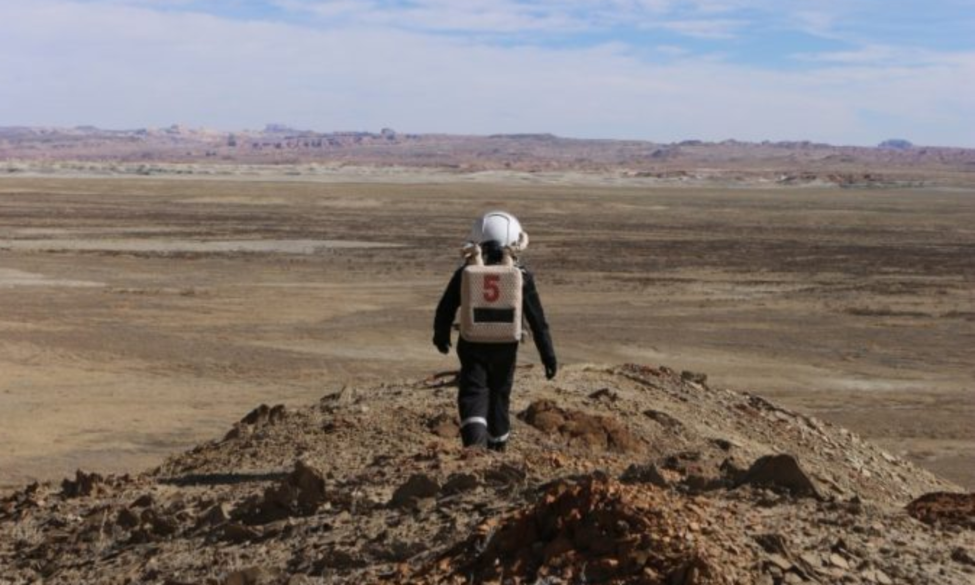
EVA #5
Author: Genaro Grajeda
Purpose of EVA: Site Survey for Very Small Aperture Terminal installation
Start time: 11:10 hrs
End time: 13:15 hrs
Narrative: A small road survey location was performed to find road 1103 in order to hike to find Hab Ridge Road. EVA team walked toward Old Repeater Point expecting to find a repeater station; however a fantastic view of factory view was found. A small walk was performed in order to find a suitable location at top of the ridge overlooking the habitat where a VSAT will be installed for a theoretical updated Radio Access Network that could service a SmartHAB and possible real life asset tracking network.
Destination: Hab Ridge South Zone
Coordinates (use UTM NAD27 CONUS): 425090N 518000W
Participants: Genaro Grajeda and Federico Martínez
Road(s) and routes per MDRS Map: Road 1103, Hab Ridge Road.
Mode of travel: Walking

