
Crew 274 EVA Report 07-02-2023
EVA # 8
Author: Nicholas S. Pender, HSO
Purpose of EVA: Resupply, data collection, and status check of EEVAC-1 (supply cache).
Start time: 10:00 AM
End time: 11:30 AM
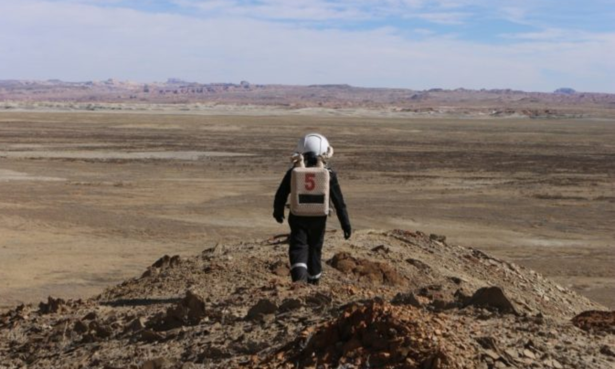
Narrative: EVA #8’s purpose was to deliver a resupply of 2L of water and 6 gel packs to EEVAC-1 (the supply cache) located at coordinates N4248400, E519300. Performance metrics collection and a status check on the condition of the cache was also conducted. Finally, we collected data on the orange radiation experiment led by Commander Sarah Guthrie. EEVAC-1 was found in good condition, however, the solar panels charging the cache had an accumulation of dried mud on them. Additionally, most of the legs supporting the solar panels had shifted, and one of them completely collapsed. According to historical weather data, it appears that winds up to 26 mph occurred in the Hanksville area the night of 25 Feb 23 (Sol 7). It is suspected that this weather event contributed to the state we found the solar panels in. We were able to clear the mud accumulation with gentle hand swipes and reposition the solar panel legs back to their original configuration. It is noteworthy that the stakes and ropes securing the solar panels all held up over this period, and I believe the stakes installed at the base of the solar panels played a significant role in preventing more drastic impacts. Listed below are the collected metrics:
- Inside Temp (Thermostat): 51.5 F
- Inside Temp (Data Logger): 60.6 F
- Outside Temp: 64.4 F (likely due to position in sunlight)
- Battery Level: 4 + 1 (charging)
- Power Consumption: 0W
- Total Consumption: 0.00 kWh
Orange Metrics
- Inside Temp: 61-57 F
- Outside Temp: 61 F (likely due to position in sunlight)
- Inside radiation Lvl: 0 mSv
- Outside radiation Lvl: 0 mSv
Destination: South on Cow Dung Road.
Coordinates (use UTM WGS 84): N4248400, E519300
Participants: Nicholas Pender (HSO), Lex Lojek (Engineer)
Road(s) and routes per MDRS Map: EVA #8’s (map provided) purpose is to drive to EEVAC-1 deployed at N4248400, E519300 via south on Cow Dung Road near Zubrin’s Head.
Mode of travel: Rover: Spirit
Crew 274 Sol 9 EVA Report 02-07-2023
EVA #: 9
Author: Sarah “Ceres” Guthrie, Commander
Start time: 2:00pm
Stop time: 3:30pm
Narrative: Crew performed the first of the adaptive rescue vests with medical sled EVAs at the ravine at Gateway of Candor. They dragged KURT (~80 lbs) to the destination which was physically strenuous but the sled performed well over the various terrain features (soft riverbed and rock). The crew also simulated KURT, an incapacitated who fell from the hill by placing him on the side of the hill slope. They tested the rescue vest, simulating a pressurized suit stance, lifting KURT and different points. Each member of the crew performed a single-person and two-member rescue with lifting KURT at different connection points and placing KURT on the sled. They then practiced single-person and two-member carry of the sled and walked back to the rover. The location of this test, while seeming ideal on paper, proved to be difficult in performance and further than expected. The requested time for this EVA was not sufficient to reach the location and perform the tests on the crew members. The EVA team, to our surprise, was able to maintain constant communication with the IVA (hab crew) at the EVA site. NOTE: Future EVA requests will inquire about performing more tests in this location in order to maintain comms north of the habitat. Unfortunately, the cache EVA crews seem to lose comms when they are south of the habitat.
Purpose of EVA: The purpose of this EVAs is to test the adaptive rescue vest on KURT (test dummy) with the rescue sled hilled and rocky surfaces. This location provides the scenario where incapacitated astronaut would have fallen into a ravine that can not be accessed by a rover. The crew will save “KURT” from the river bed at the base of the hill and return him to the rover parked on Cow Dung Road (N4251500, E518800).
Destination: Gateway to Candor
Coordinates (use UTM WSG 84): N4251500, E519500
EVA Participants: Sarah Guthrie (Crew Commander), Noah Loy (Heliophysics), Bill O’Hara (Crew Engineer), Tony DiBernardo (Journalist)
Road(s) and routes per MDRS Map: EVA #9 will Cow Dung Road north to Gateway to Candor.
Mode of travel: Walking and Rover (Opportunity/Curiosity)
Vehicles you will be using (If applicable): Percy & Opportunity