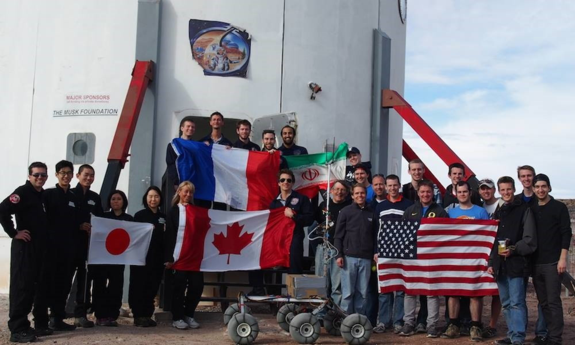
Crew 261 EVA Report 09-05-2023
EVA # 13
Author: James Burk (Commander)
Purpose of EVA: Photo shoot outside Hab with suits on.
Start time: 6:45 AM
End time: 7:50 AM
Narrative:
Overview of EVA
Our crew suited up and went outside to capture several portraits of the crew at dawn, while the lighting was different from daytime, for the purposes of public outreach photos.
Issues Experienced
None
Outcomes
None
Destination: Immediate vicinity of main Hab.
Coordinates (use UTM WGS 84): 518400 E, 4250900 N
Participants:
James Burk (Commander) (EVA Lead), Julien Villa-Massone (Crew Engineer), Kris Davidson (Journalist) (Not In Sim – Not Wearing Suit)
Road(s) and routes per MDRS Map: Walk outside of Hab.
Mode of travel: Walking
Crew 261 EVA Report 09–05–2023
EVA # 14
Author: James Burk (Commander)
Purpose of EVA: Drone Rescue of Julien’s Drone + Fly Adapa Drone to get footage.
Start time: 6:45 AM
End time: 7:50 AM
Narrative:
Overview of EVA
The EVA team successfully retrieved the lost drone with no issue. They then proceeded to Lith Canyon and we lost comms for most of their time in that region. They were able to stop and view (from outside the perimeter) the special region, and then proceed to Lith Canyon where they spent time flying a drone to capture the majestic scenery. On the way back, they stopped near Pooh’s Corner to place a Meshtastic device that was requested by the remote EVALink team, so that we can test the idea of “breadcrumbs” which can extend the adhoc mesh network that the individual devices form. Data was gathered and much drone footage was taken from the Adapa drone, and Julien’s DJI drone.
Issues Experienced
• [Technical] The crew found some inaccuracies on the exact road routes near Lith Canyon; the road indicated on our map is hard to find, and there is another, more prominent road, that is not indicated on our map.
Outcomes
• According to the EVA team, the use of one wheel drive on flat ground seemed to extend the rover’s range. The benefits of this were discussed by the crew.
• The Special Region on the map is not well marked, and it would be easy for somebody to get lost and to enter the area. Our crew made sure not to enter the area.
• We recommend use of GPS to navigate near and in Lith Canyon (see above issue) because roads are not easy to find and follow.
Destination:
1. Location of Julien’s Downed Drone
2. Lith Canyon
Coordinates (use UTM WSG 84):
1. 518908 E, 4251236 N
2. 519000 E, 4256600 N
EVA Participants: 2: Cecile Renaud (GreenHab Officer) (EVA Lead), Julien Villa-Massone (Crew Engineer)
Road(s) and routes per MDRS Map: Take Cow Dung Road north to Lith Canyon
Mode of travel: Rovers (Curiosity & Opportunity)

