
EVA # 9
Author: Tomás Burroni
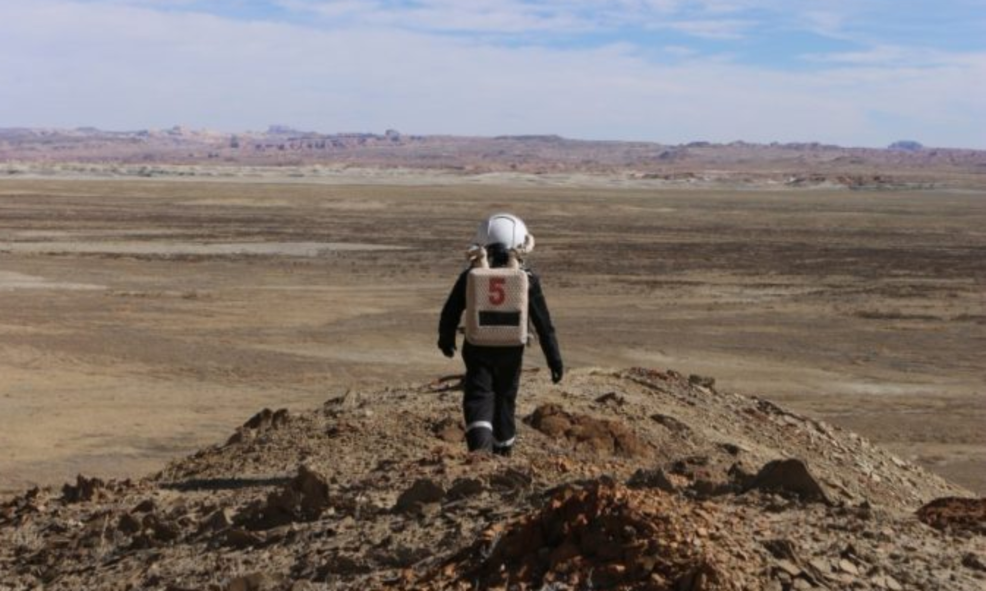
Purpose of EVA: Collect drone images from Hab Ridge for the geolocation project and generate 2D path for tomorrow’s EVA.
Start time: 13:00
End time: 15:05
Narrative:
Walked through route 1103, continued through Hab Ridge Rd where the drone images were taken, then kept going until the station was in sight. The same path was followed to return to the station while recording GPS data to generate the digital map.
Destination: Hab Ridge
Coordinates (use UTM WGS 84): 517450 E, 4250950 N
Participants:
Luis Díaz López
Marina Buqueras
Tomás Burroni
Road(s) and routes per MDRS Map: Walking through route 1103, continuing through Hab Ridge Rd until the repeater. The same path is followed to return to the station.
Mode of travel: Walking through the designated path