
EVA #: 13
Author: Scott Dorrington & Steven Hobbs
Start time: 1000
End time: 1200
Narrative:
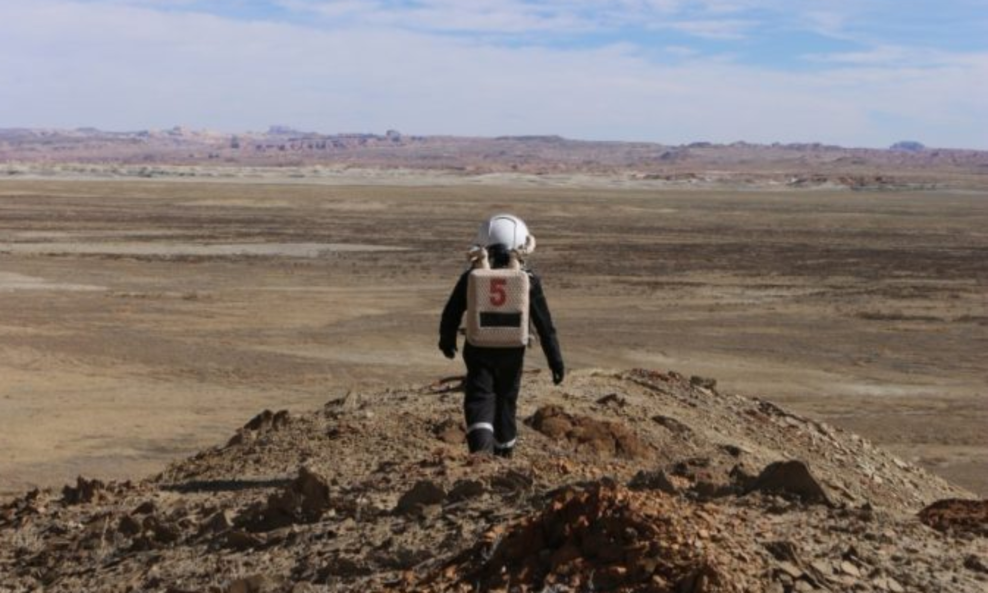
This EVA was conducted in the vicinity of the Hab, and had a dual-purpose. Scott walked 200 m away from the Hab to the mound at the intersection of Cow Dung road. This gave a good vantage point to a number of peaks in the area for wayfinding experiments, including Phobos Peak and the Beehive (described in EVA 5), North Ridge, Kissing Camel Ridge, and the Henry Mountains. Bearings were taken to each peak using a theodolite app to visually display azimuths. Sightings were also taken of the sun at various times through the EVA to be used as a reference point for calibrating these readings. Compass bearings were also taken for validation. Angle measurements were also taken between pairs of peaks using a handheld protractor. A different method was used, where the protractor was placed on the ground and arms aligned one at a time. These readings are expected to be more accurate than previous methods. Vertical angles were also taken from the base to peak of Phobos peak – this will be used to estimate distance from Phobos peak via trigonometric calculations. During these activities, a car was observed driving past along Cow Dung road.
Rover spectral sample EVA trials were conducted to characterise the utility of a Sojourner-sized rover in negotiating Martian terrain and capturing VIS/NIR spectra. Six samples collected from previous EVAs were set up within 40 m of the HAB. The Johan Rover was timed for its traversal to each site, while guided by a second astronaut. This simulated a remote operator being guided by an on-site remote sensor. A second run was conducted where the operator was placed in an elevated position to self-guide the robot, simulating control from an overwatch mission. A third run timed traverse and positioning the rover for spectral sampling while the final run was conducted by timing an astronaut traversing the distance. Six spectra were captured and compared with results gathered in a controlled environment.
Destination: Outside the Hab. 518150, 4250950 for rover tasks. Walking within 200m of the Hab to 518332 4250785 for wayfinding points.
Purpose of EVA: Continue collecting spectral data of regolith and minerals around the Hab. Additionally, collect bearings, angles, and theodolite data to various peaks for wayfinding research.
Coordinates (use UTM WSG 84): 518150, 4250950 for rover and 518332 4250785 for wayfinding
EVA Participants: Steven Hobbs, Scott Dorrington
Road(s) and routes per MDRS Map: Exit via Hab airlock and walk to the hill SSE to SE of the Hab, then walk to turn off to Cow Dung Rd 0110 for wayfinding points. Within 200m of the Hab walking distance.
Mode of travel: Walking only.
Vehicles you will be using (If applicable): n/a