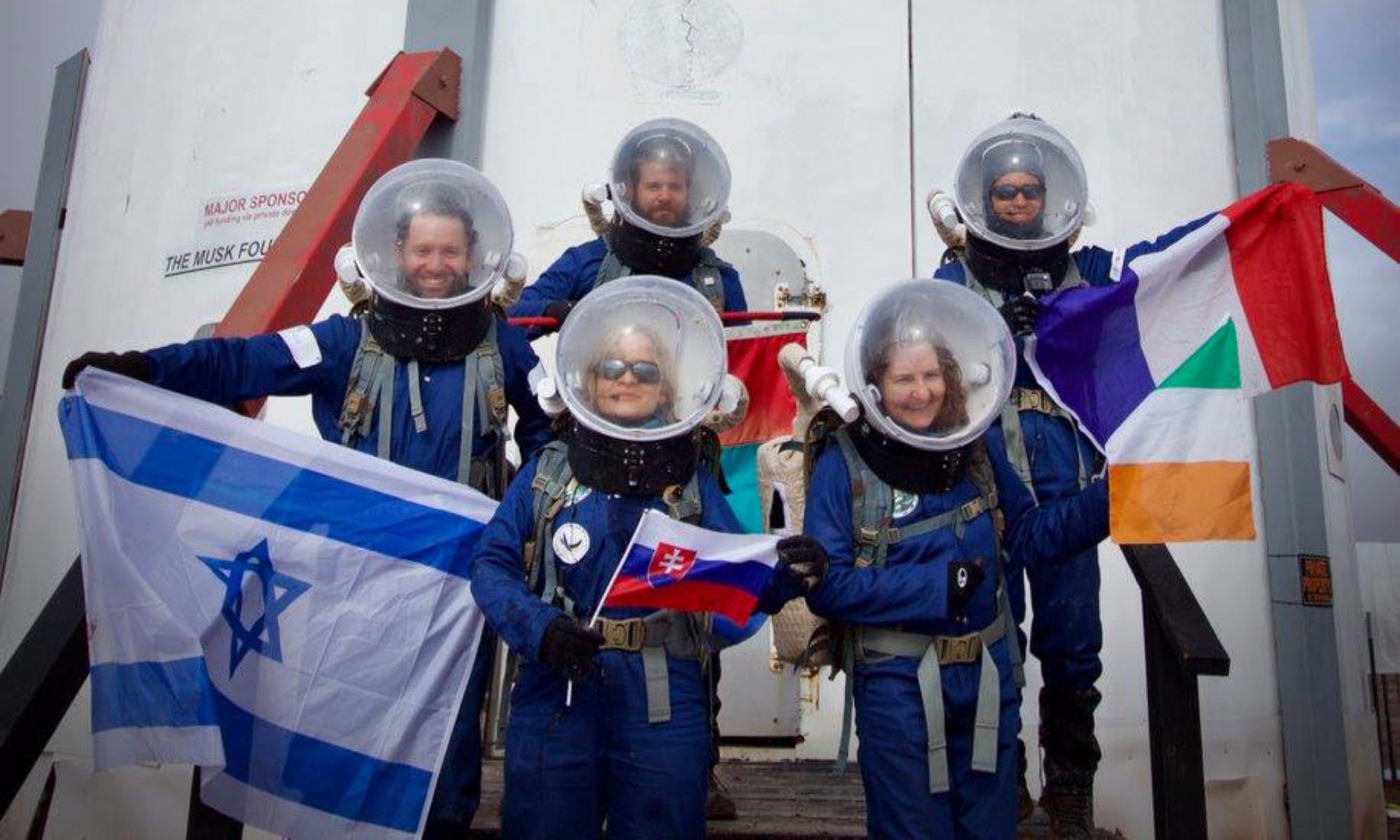
Crew 206 EVA Report 13Mar2019
EVA #13
Author: Cerise Cuny
Purpose of EVA: This EVA will allow us to do some maintenance on the
LOAC and weather station (hygrometry temperature captor). In addition to
that, we will go on an exploration hike at 518600/4248500 that today’s
EVA teams spotted as an interesting place.
Start time: 9:14 am
End time: 10:42 am
Narrative: After the 5 minute depressurization, we checked the water
levels and the rovers’ batteries. We left the station at 9:26 am and
arrived to the LOAC three minutes later. We placed the hygrometry and
temperature captor at the feet of the LOAC, in the same plastic bag than
the battery to protect it from the rain. We left the LOAC location at
9:29, lost communication with the hab at 9:32 am. We did a first stop
not far before Kissing Camels Ridges, and walked a bit (518214/4249859).
At 9:55 we took back the rover to go farthest to the south. We stopped
at 10:03 am at 519433/4248119. We walked for a bit in canyons but
quickly the wind became stronger. I decided to turn around, to go back
directly to the rovers and to the hab. At some point, we couldn’t hear
very well what people were saying in the radios, and we were pushed by
the wind. We arrived to the rovers at 10:19 am and after an 11 minutes
drive we arrived to the station. We picked up some garbage bags that
were pushed by the wind. We entered the main airlock at 10:37, grateful
to be protected from the cold wind.
Destination: LOAC and Weather Station location, Points of interests in
the south.
Coordinates (use UTM NAD27 CONUS): 518500/4257000 (LOAC and Weather
Station), 518214/4249859, 519433/4248119.
Participants: Jérémy Auclair (CMD), Aurélien Mure (XO), Cerise Cuny
(HSO, EVA leader), Norbert Pouzin (GHO)
Road(s) and routes per MDRS Map : Entrance Road , Cow Dung Road
Mode of travel: Driving and Walking

